
A

The project aims to address the increasing amounts of water we are going to experience where we live and investigate what it will entail for coastal communities -The project is a constructive aqueous proposal for the “settlements on the edge” which will allow residents not only to remain living in close proximity to the ocean, but at the same time heighten residents awareness of, and attunement with water in both everyday and crisis situations alike.

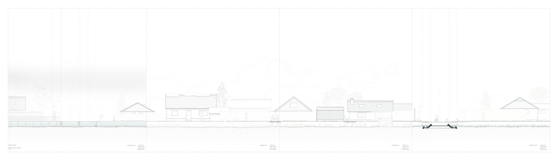
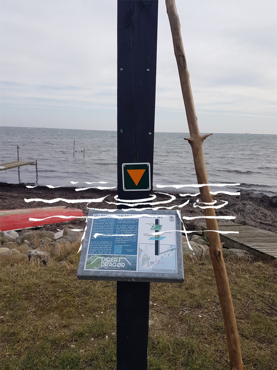
Denmark is a low laying country with a long coastal line. Lots of cities and clusters of houses are faced with the issues following sea level rise combined with the increased frequency of cloud bursts. Communities by the sea are furthermore troubled by, not only sea water, but water from inland too. Fortification put in place to secure settlements from the seaside, must allow access for water pass through.
To sum up the problem: we are dealing with water from above, and decreasing capacity for groundwater below, and sea water from the sides. To handle the dilemmas, strategies like flight, fight and adaptation are being used all over Denmark.


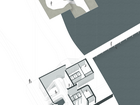
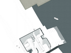
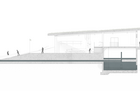
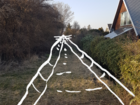
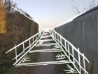
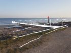
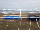
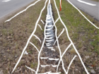
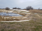
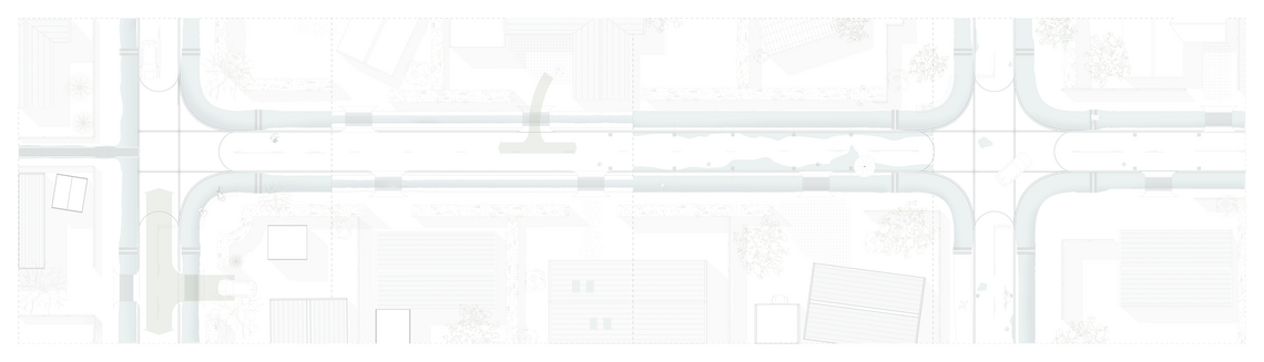
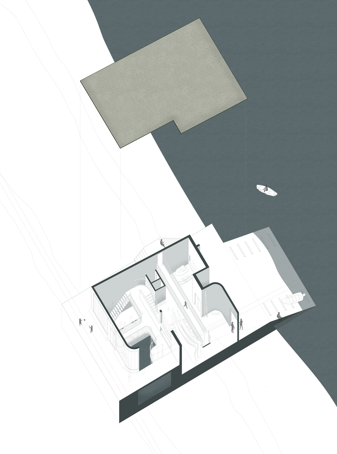
Possibilities of development strategies were explored through the notion of "demonstration project" – testing out a network of rainwater/stormwater channels inside the frame the community, connecting to the already existing network outside the community, with empahsis on the notion of creating possibilities instead of boundaries. The channles will work as a way of collecting water, and transporting it to the nearest pumping stations, proposed to be placed at the dikes.
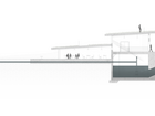
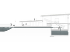
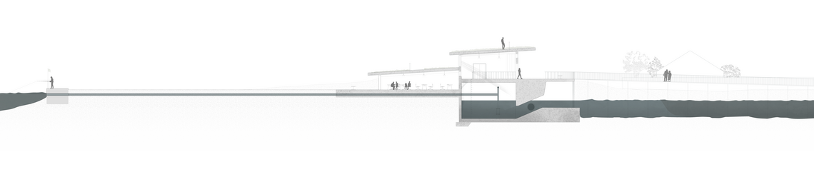
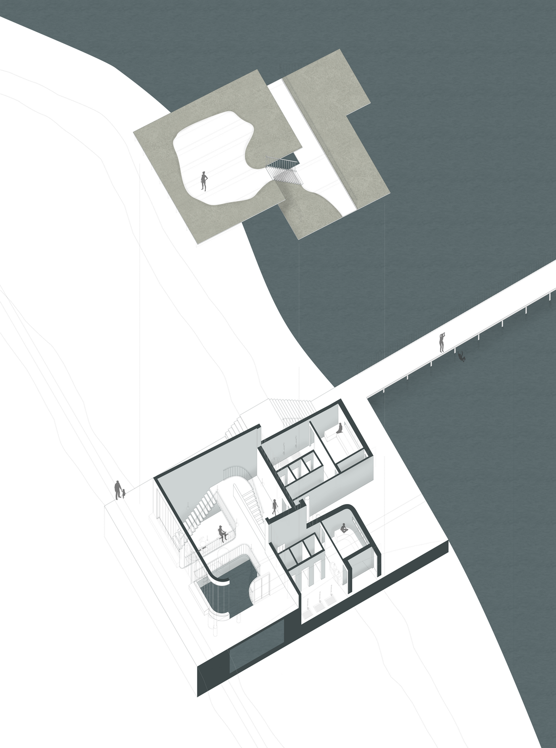
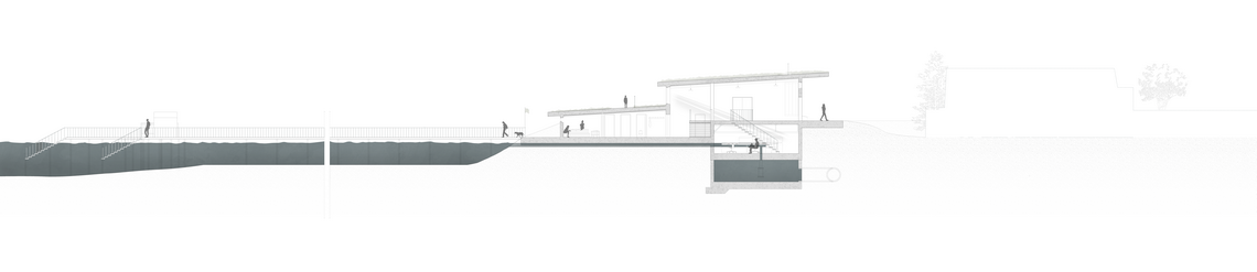
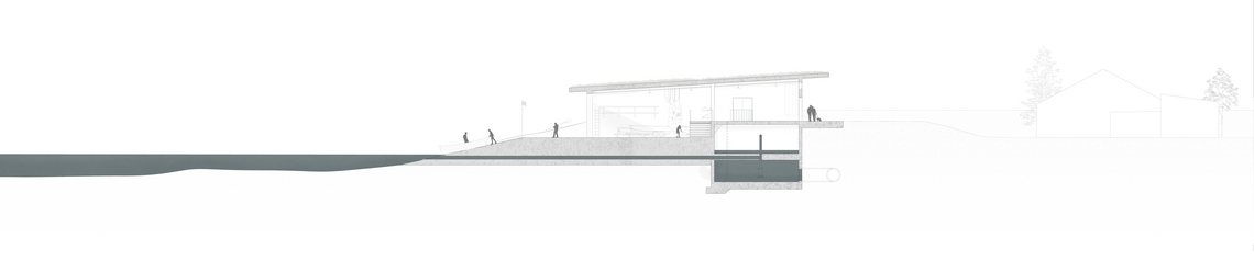
The pumping stations will house additional programs to create a spatial gateway between community and sea, offering a transition zone, and a connecting attunement moment with the water for the community, and serve as a reference for similar communities in Denmark.


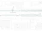
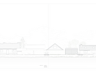
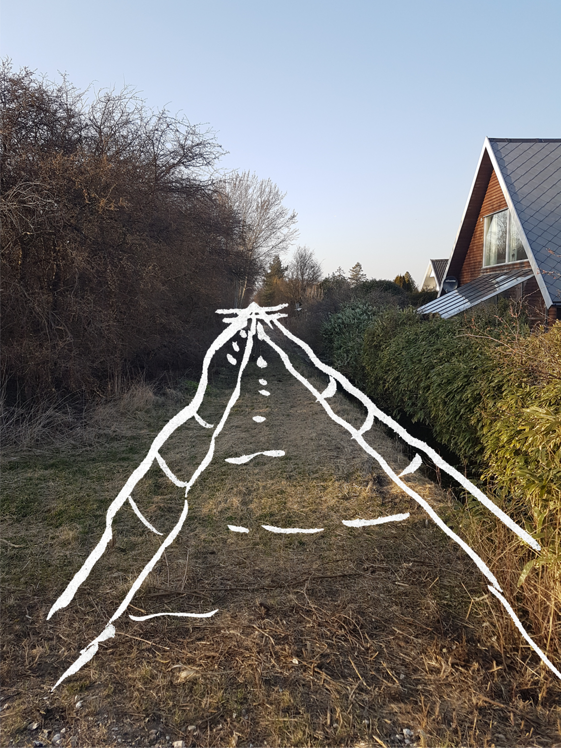
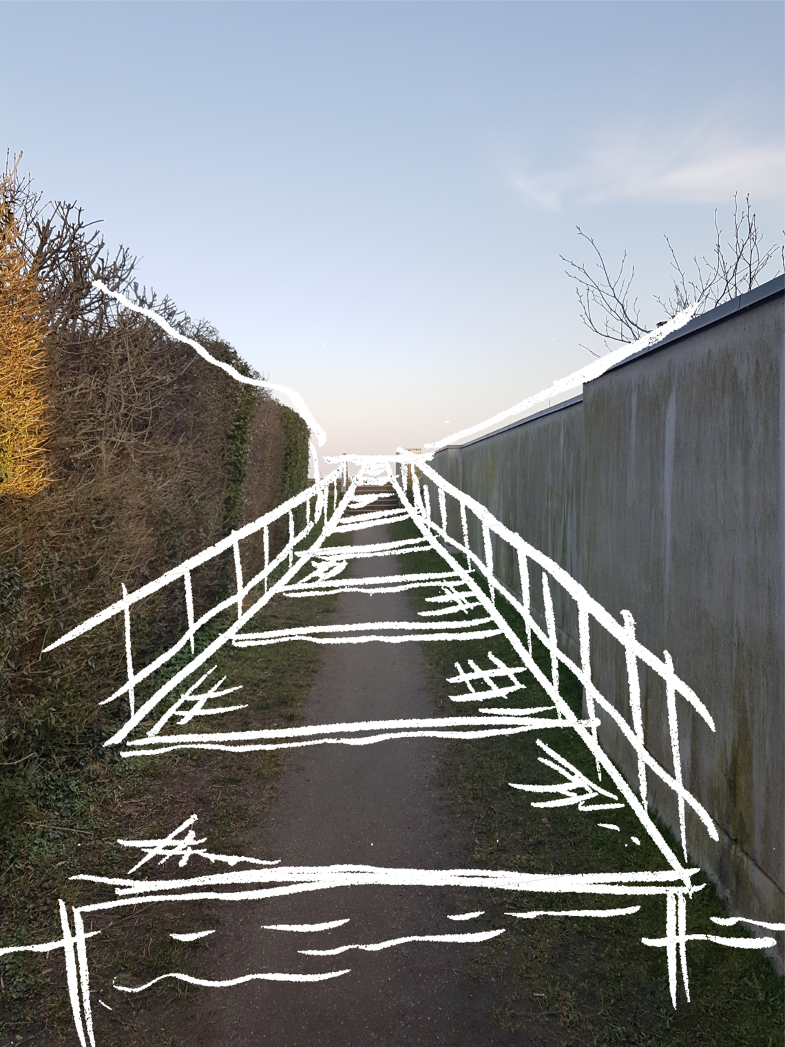
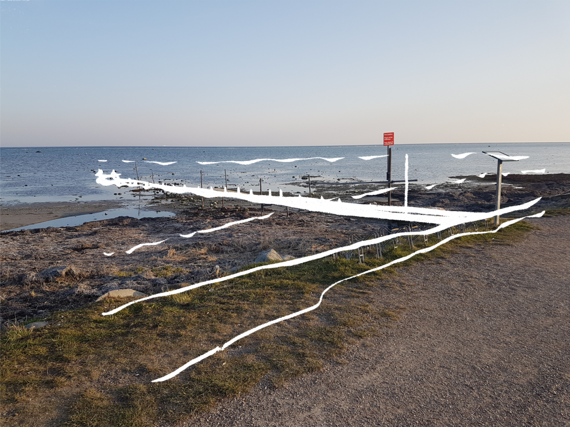
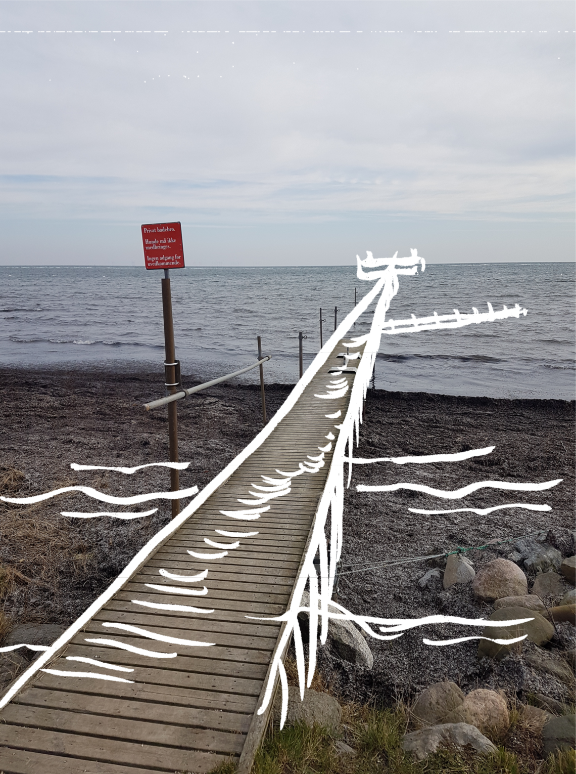
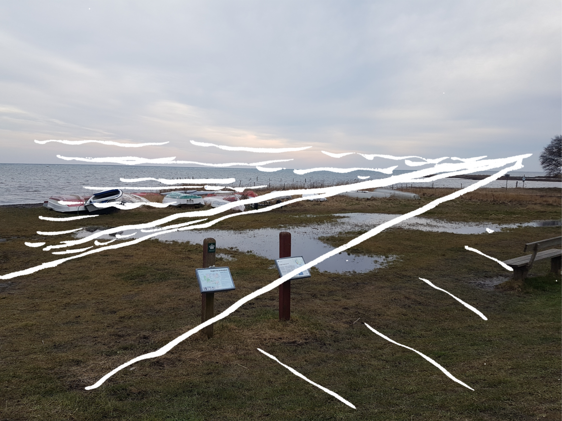
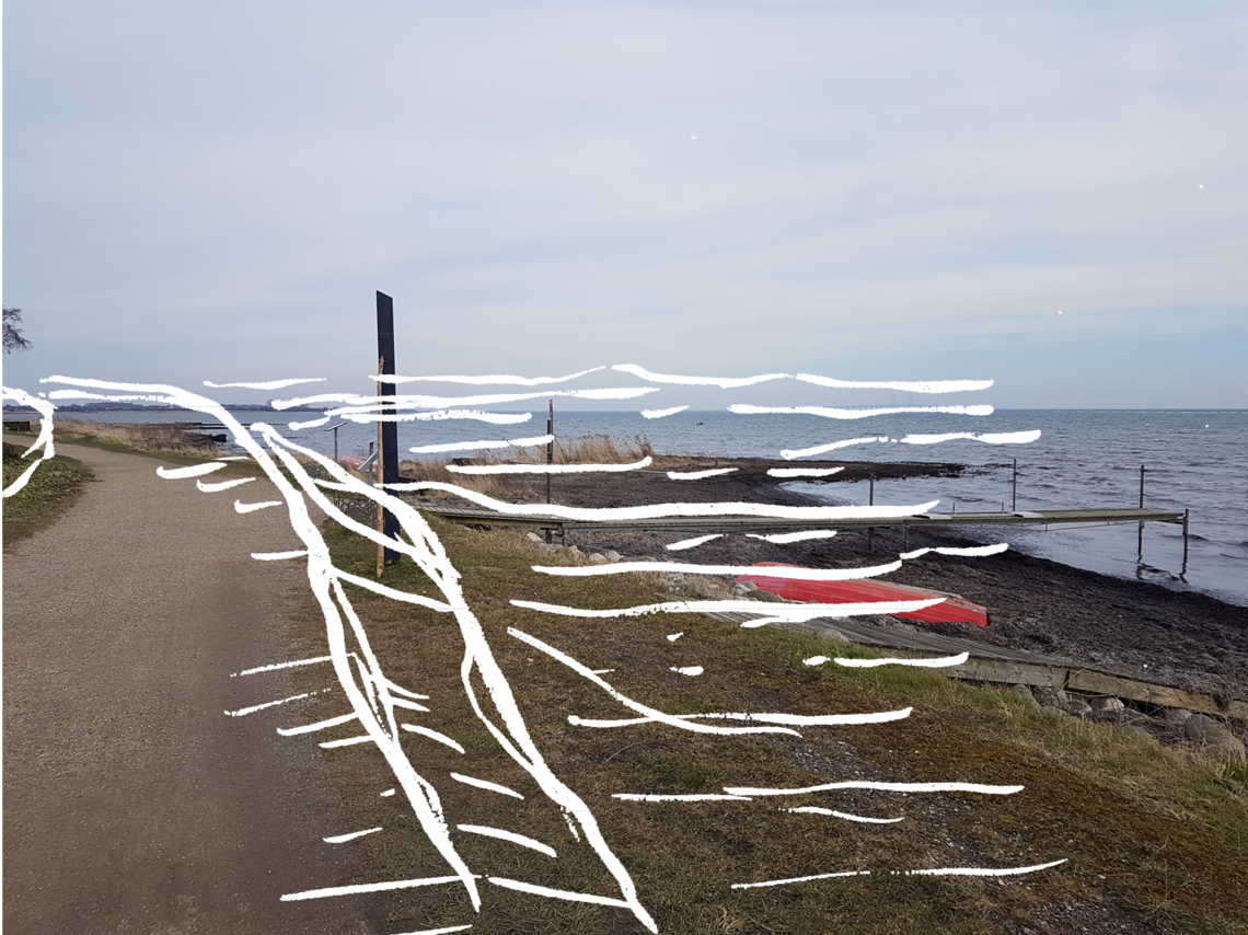
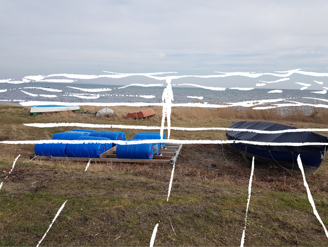
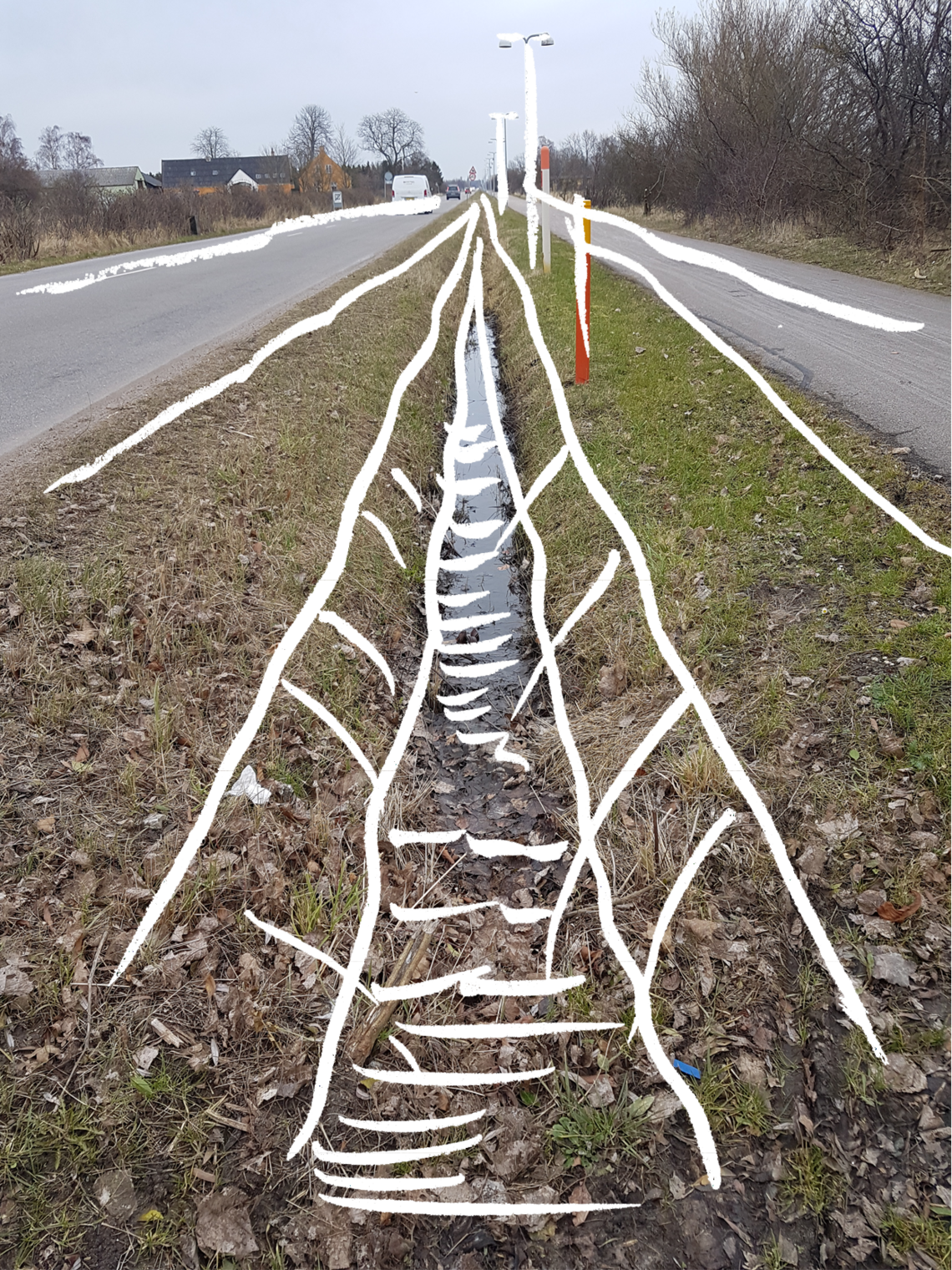
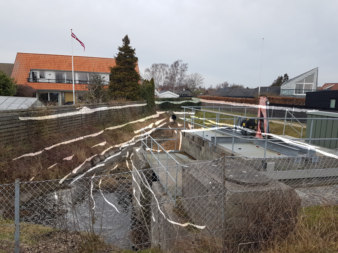
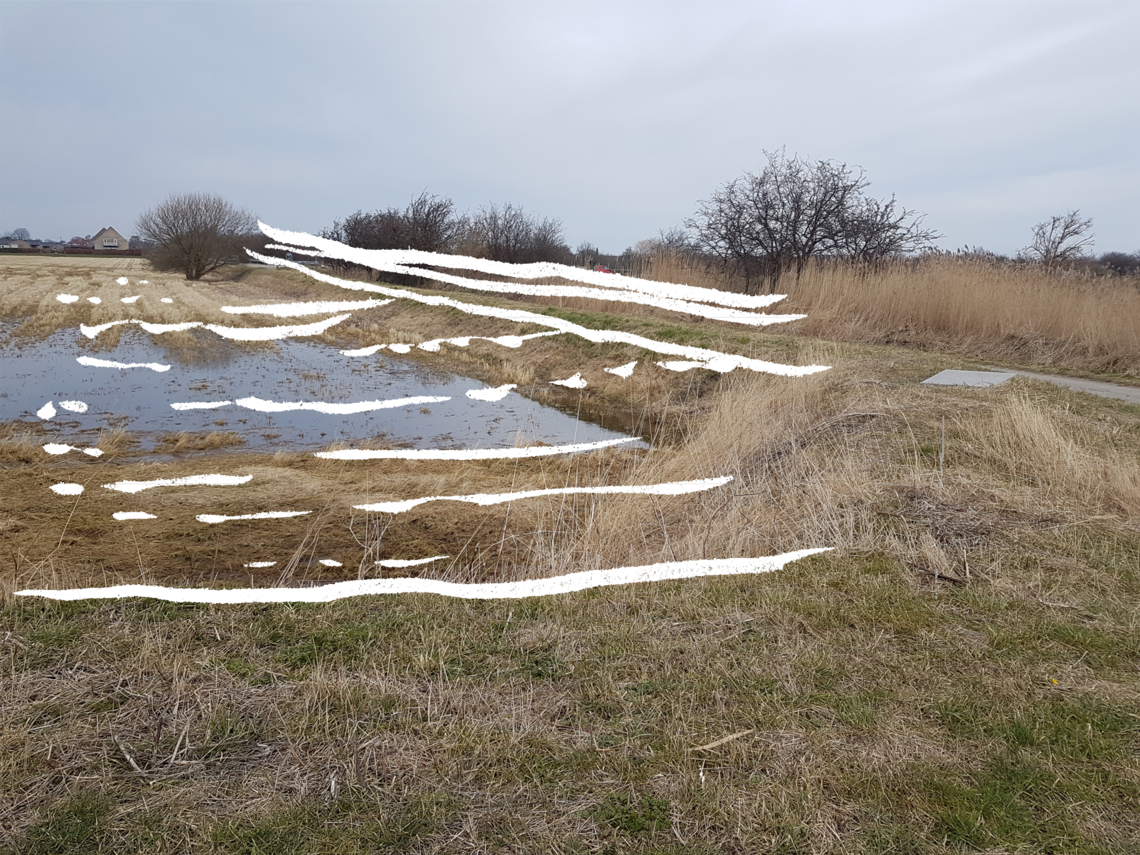
Quick sketches showing movement with water, throughout the program - from the inland fields to sea.


")


