
A


Introduction
This project aims to challenge the current decentralizing expansion in Kalundborg. Instead of building single family housing on greenfield in the outskirts of the city, this project presents adding alternative housing typologies on the underutilized areas along the railway.
This strategy offers a reconnecting landscape plan to benefit the new and current residents in the city.
The projects go through three scales, municipality - , city - and masterplan scale.
Kalundborg municipality
With the coastal location, Kalundborg has grown into an industrial city. This has formed the layout of the municipality.
The placement of the upcoming housing project, are continuing the current decentralization of residential areas. This leads to (what I will refer to) as the Urban Sprawl.
Consequences of the urban sprawl include empty city center. A city scape, characterized by informal meetings and life in the streets is slowly fading away.
Another consequence of the urban sprawl is the use of cars. The streets, shopping and large areas in the city are planned for car transport. Therefore, kalundborg has large parking areas and wide roads.
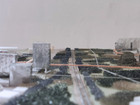
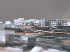
Gallery of main material
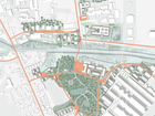
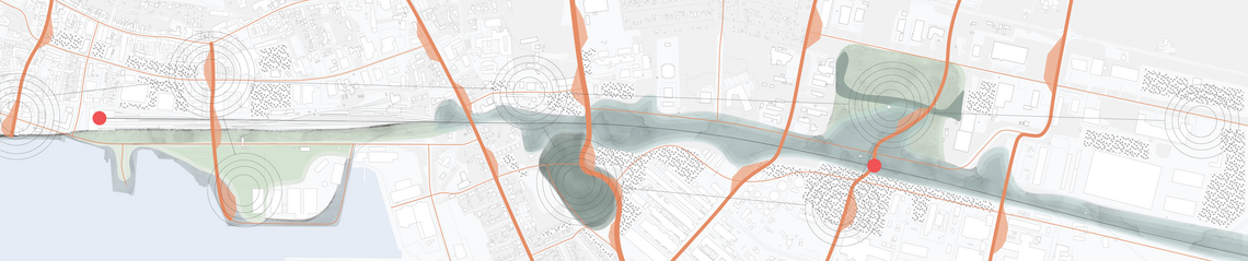
City scale "The Strip"
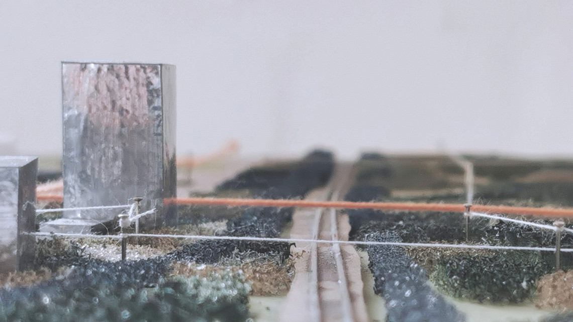
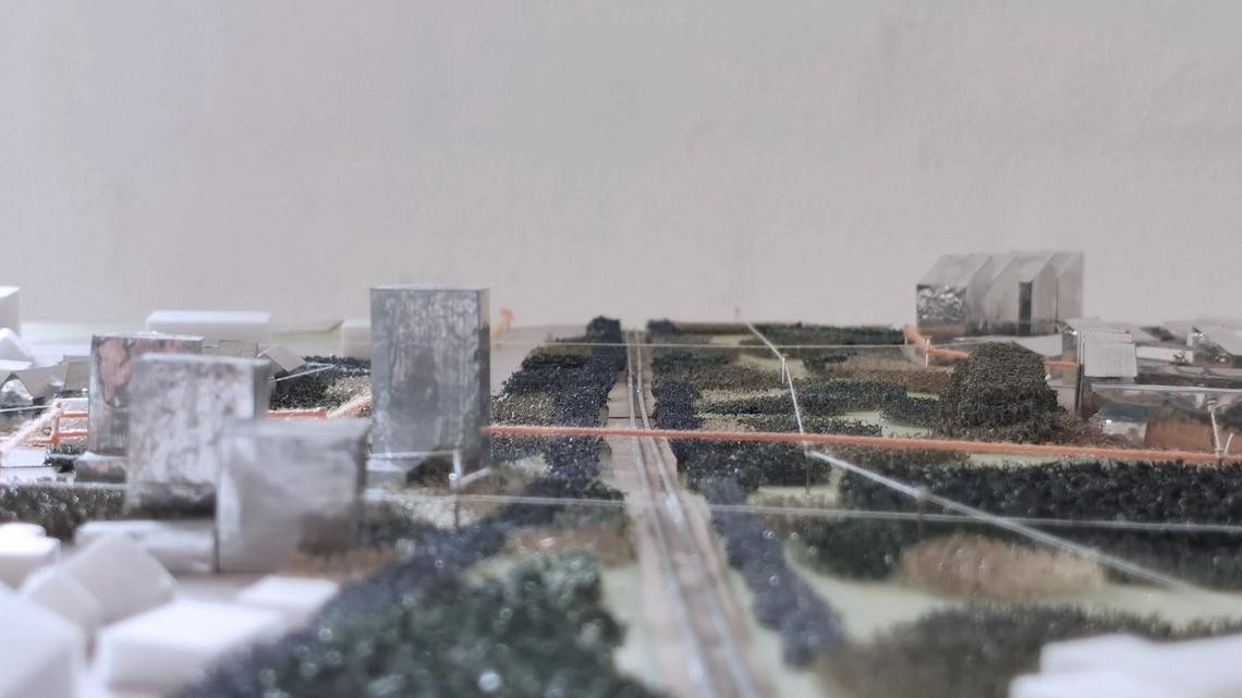
With the railway passing through the landscape and large roads cutting through, this has left Kalundborg with an urban scar.
I here propose new green and urban centers along the strip. The current green areas are spread in disconnected area. Horizontally the landscape typologies and housing creates a new city scape.
This will intergrate the new housing areas with the current city. And offer green spaces as the new backyard. The new infrastructure opens up for a new city scape and usage of the city programs and functions.
Instead of having two centers competing the new centrality is focused along the strip.


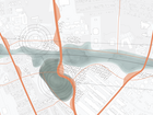
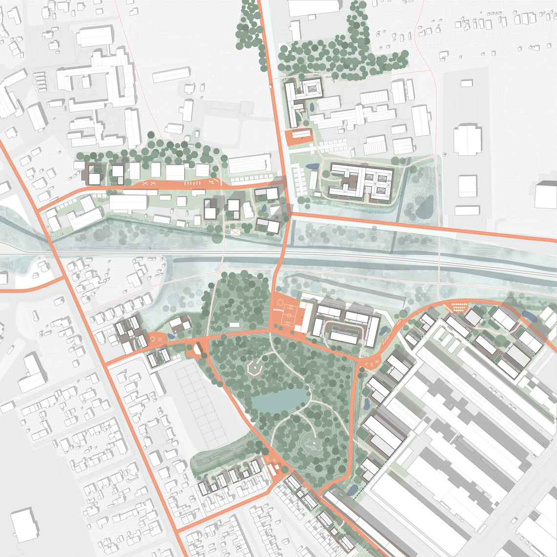
Masterplan 1:1000
The overall concept for the master plan are these two: Densify the edges, and connect these through landscape and infrastructure. Instead of using the green fields my proposal is reusing the concrete areas.
The Current Infrastructure on the site are car roads that do not create an efficient trip for east to west. I propose a path that will connect the neighbourhood with edges, the surrounding, and on a bigger scale the city. As the cycle path gives more direct transport from east to west this promotes a car free future.
Along this path public spaces, placed as breaks in the infrastructure.
The smaller path workers as internal paths for the area, either going to the semi-private in the housing area or the leisure paths through the forest and wetland.


To soften the edge between the new densified residential areas on concrete areas and the green areas. The concrete is being altered to porous concrete with green areas, Strategical open up the concrete the creates water collecting.
The landscape and the housing forms public, semi-public, semi- private and private spaces. To accommodate the surroundings, the now housing residence and the rest of Kalundborg.
The main path, wetland, forest and the porous concrete creates a new city atmosphere.
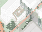
Public Spaces


")


