Diegetic Wayfinding in Open World Games
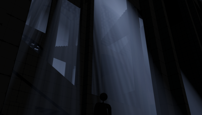
This project is looking at diegetic wayfinding in open world games. I am interested in the process of how one understands their position in a digital space and can then plan their route accordingly to reach objectives. Taking Kevin Lynch’s theory of “imageability” of urban places, I have been discovering how this could relate to the construction of mental images of digital places.
Wayfinding - encompasses all of the ways in which people orient themselves in physical space and navigate from place to place.
Diegetic information - is that which exists in the game world space, that is available to a character and the Player.
In open world games, the driving point is to immerse the Player in a plot, a feeling of being a certain character, or being part of a mesmerising new world.
The project is structured in this way:
-Introducing theories surrounding wayfinding in urban spaces.
-Conducting research on level design and wayfinding in open world games
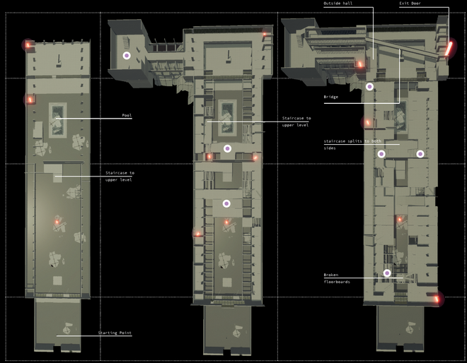
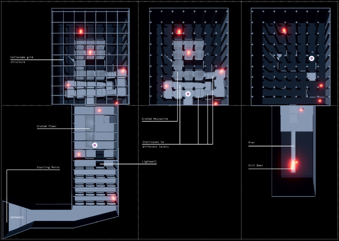
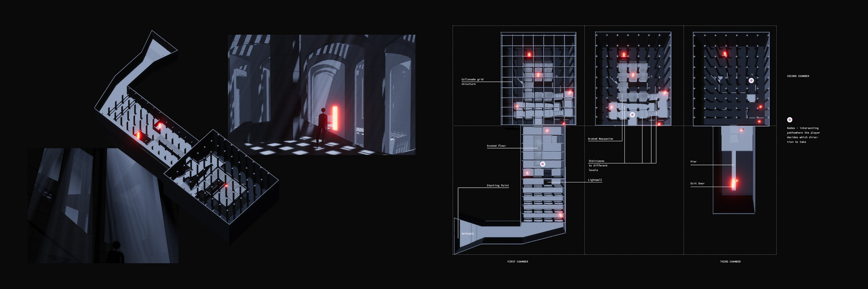
-Designing a prototype with this information
-Conducting playtests to discover is my decisions make sense to others
Making a prototype or proof of concept is my goal for the semester
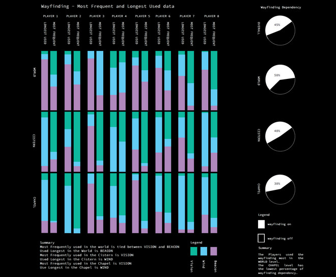
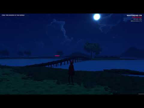
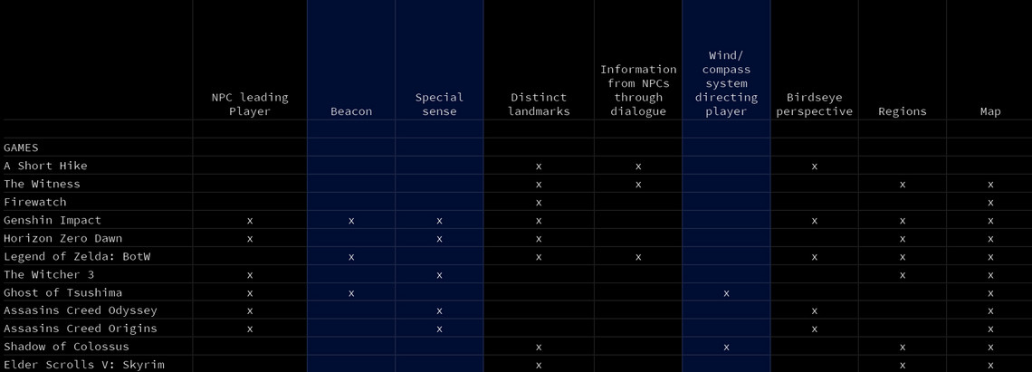
Researching open world games led me to chose three types of wayfinding tools that could help the Player locate themselves in their environment and plan their next step. The three tools are:
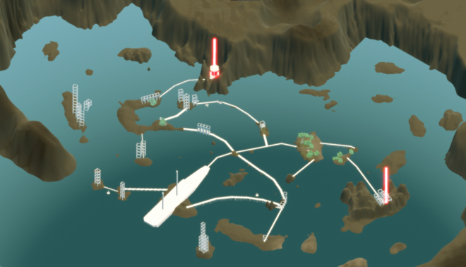
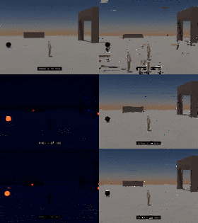
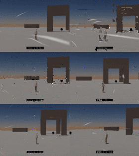
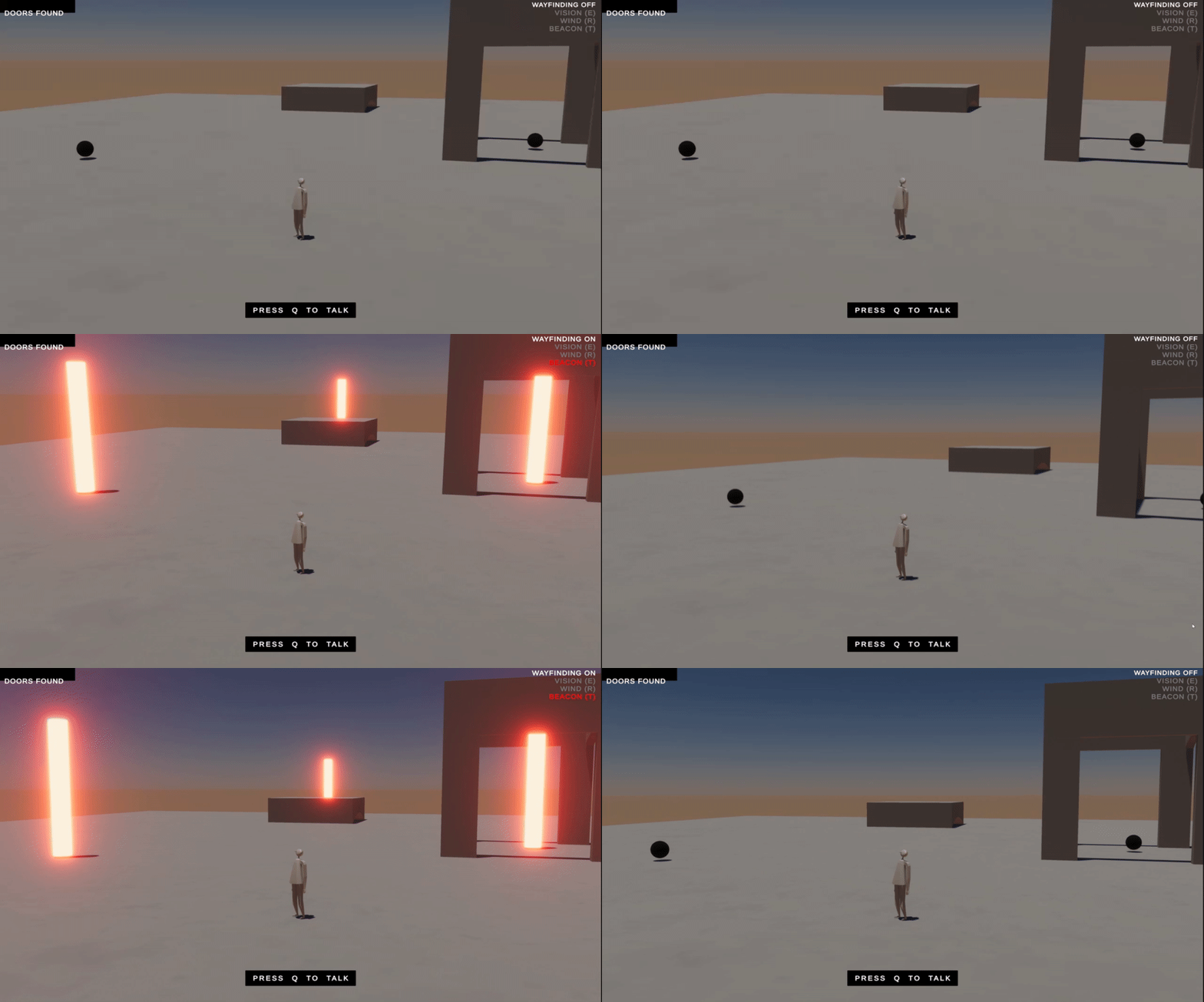
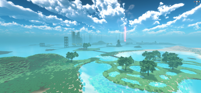
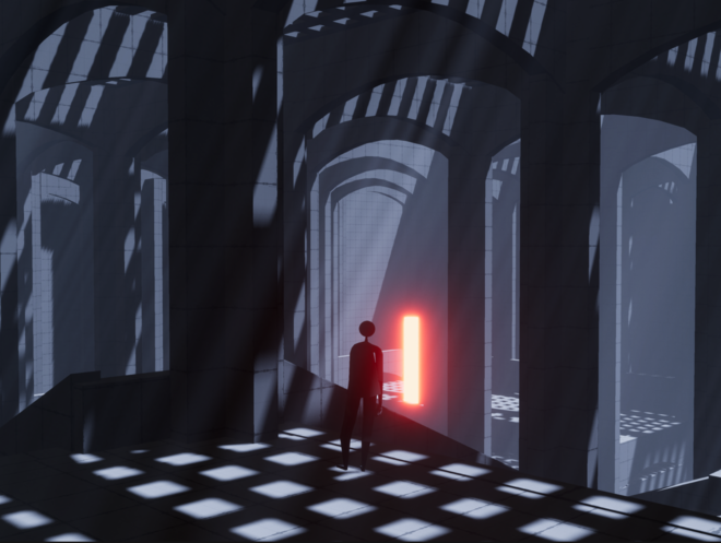
- beacon: a glowing cylinger lights up the location of a collectable object
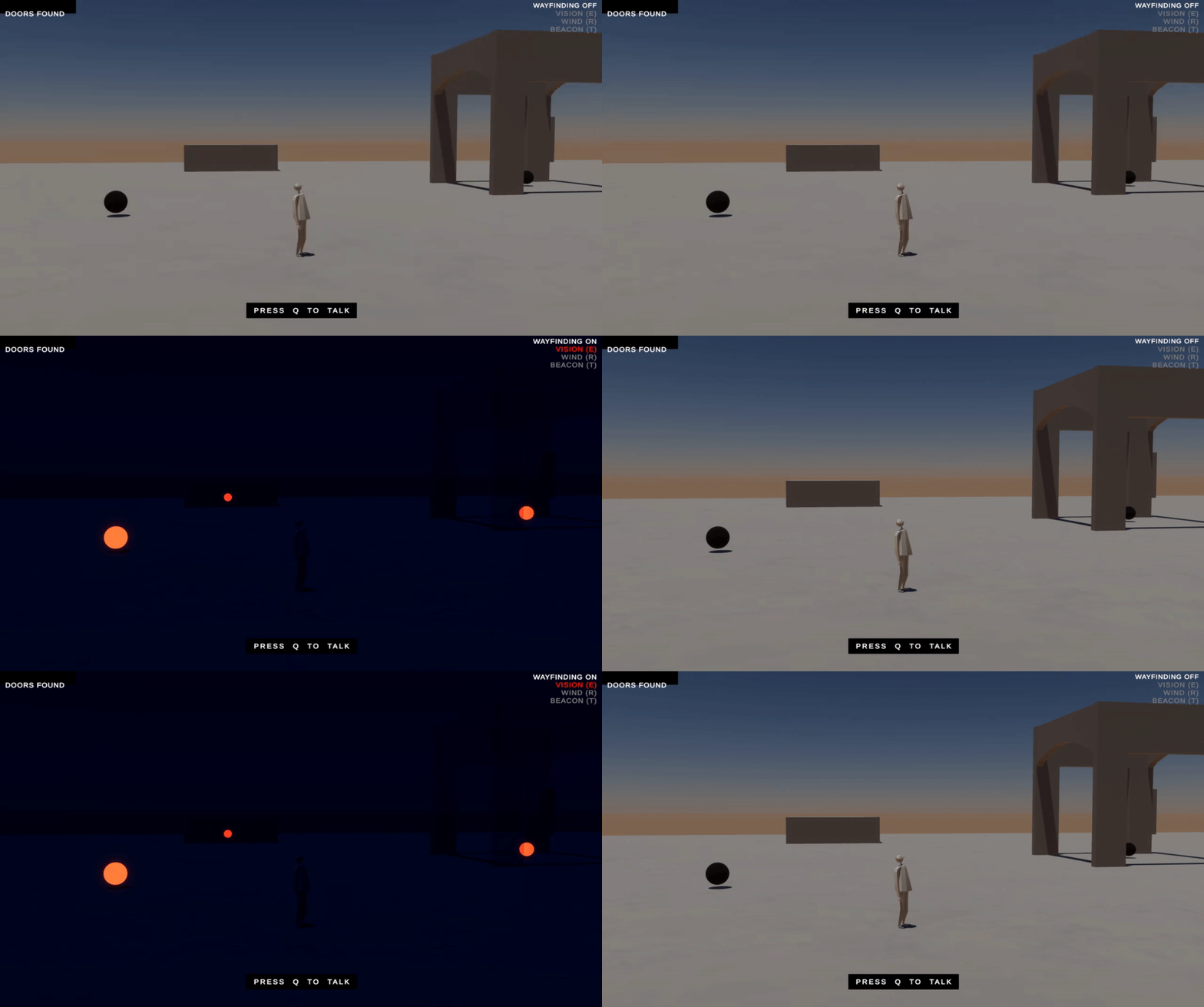
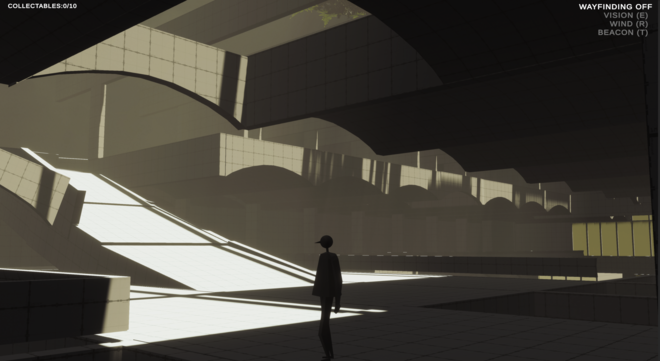
- vision: the collectables are lit up while the enviornment dissolves away
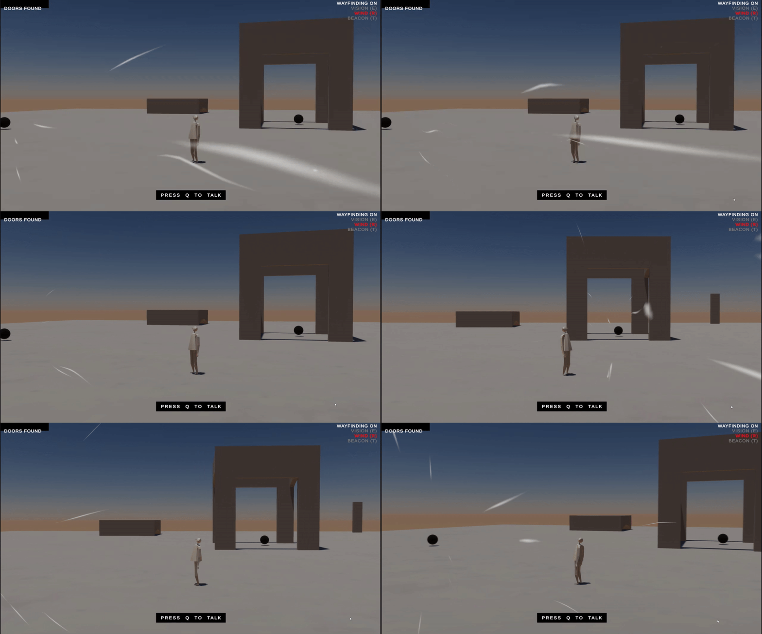
- wind: a particle system point to the closest collectable to the Player
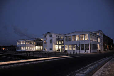
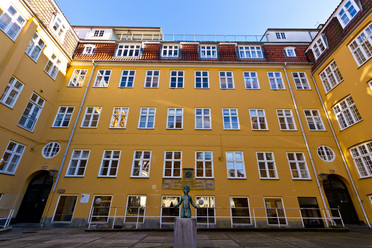
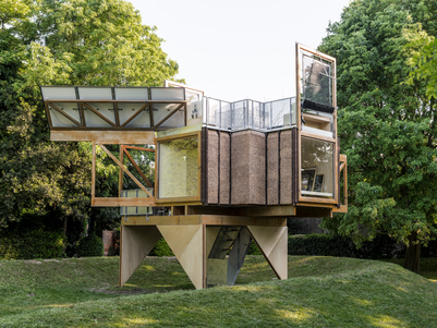
Next, I built a prototype to playtest which would be the best wayfinding tool in each context.
Lessons on wayfinding from the testing:
- spaces designed using “imagebility” elements are more memorable than those designed without.
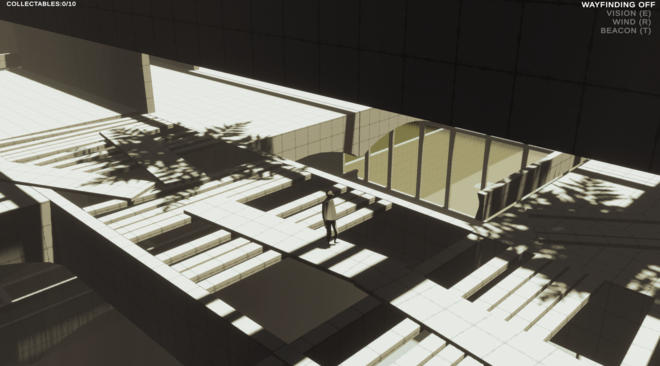
- The distinct elements in a scene that stand out against a repetitive spatial rhythm allows the Player to better remember the space.
- Landmarks and artifacts within the levels need to be lit in order for them to be memorable and useful to the Player.
- Both the aesthetics and effectiveness of a wayfinding mode need to be addressed in order for the Player to depend on it. Aim to create immersive wayfinding that the Player can depend on to be correct and work in a way that they understand the information it gives.
