
A

The project proposes a planning strategy to accommodate increasing water in Brøndby Strand and Vallensbæk. Embracing the presence of water, we see it as an asset towards a coherent urbanity. Responding to both existing landscape and social dynamics, the proposal mitigates between adaptation, retreat and protect. Between the needs of lived realities now, and the potentials of long term thinking.
The project is made in collaboration with Linnea Christophersen
“In light of current trends and future pressures, we will have to find new ways to live in and with the coast, new ways of reconciling the desire to be near it with the cautious humility and respect for the dangers a changing climate will present”
Timothy Beatley


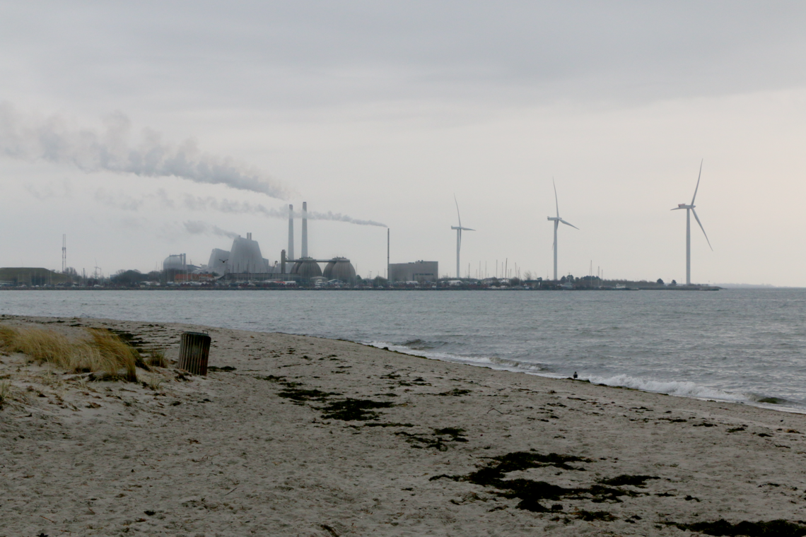
With over 7,000 km of low-lying coast, Denmark is highly vulnerable to rising sea levels and increasing flooding events, a threat expected to escalate towards the end of the century. It points to projections of a drastically altered Denmark, were we have to learn to live with extreme weather events. Though already today we can sense the physical changes, and in October 2023, Denmark experienced its most significant storm flood in a century, followed by several more storm floods and heavy rainfall, making 2023 a record year for such events. The consequences are severe, affecting the economy, infrastructure, and homes across the country.
With socioeconomic and geographical differences, there is a disparity in how countries, municipalities and individuals have the means and opportunities to accommodate climatic changes, and extreme events
We believe that responses to the various crises that arise from climatic changes should not solely be of technocratic nature, but should aim to respond to several aspects at once.

Site
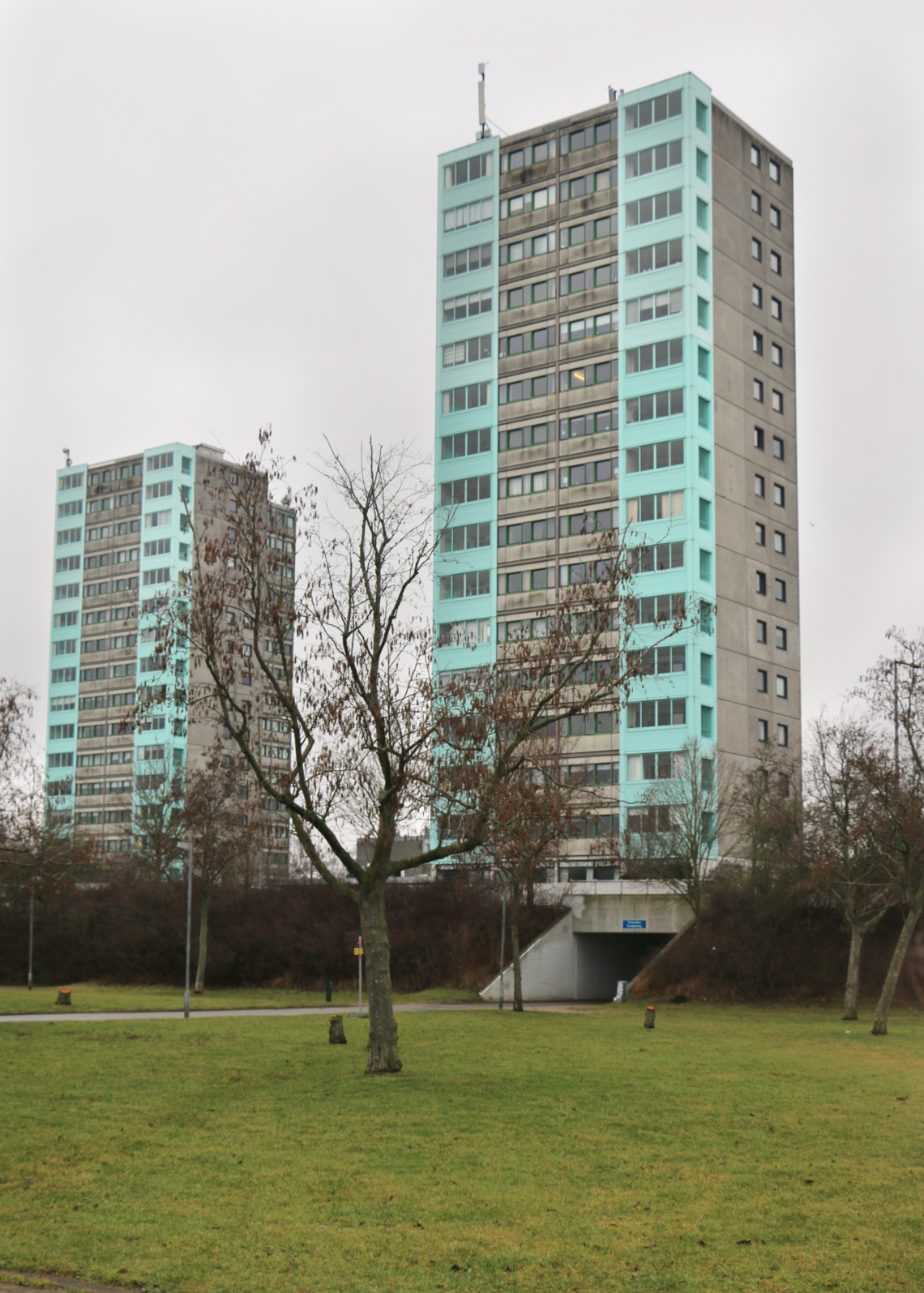
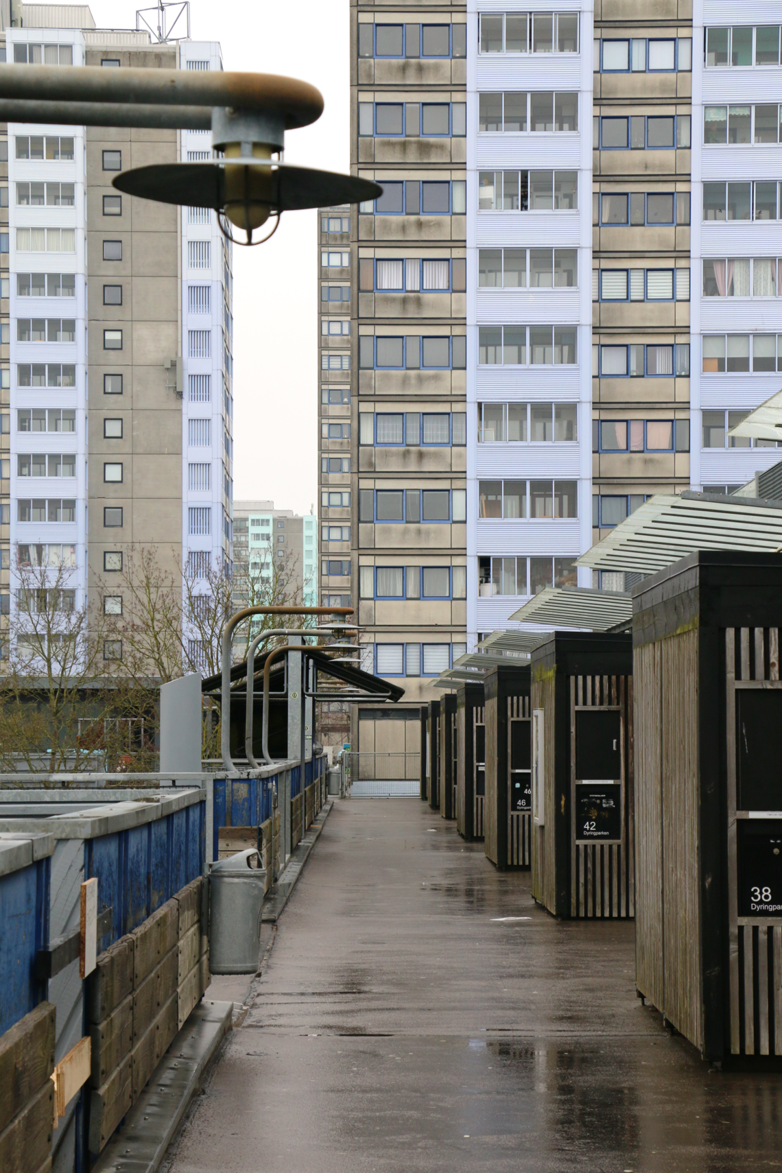
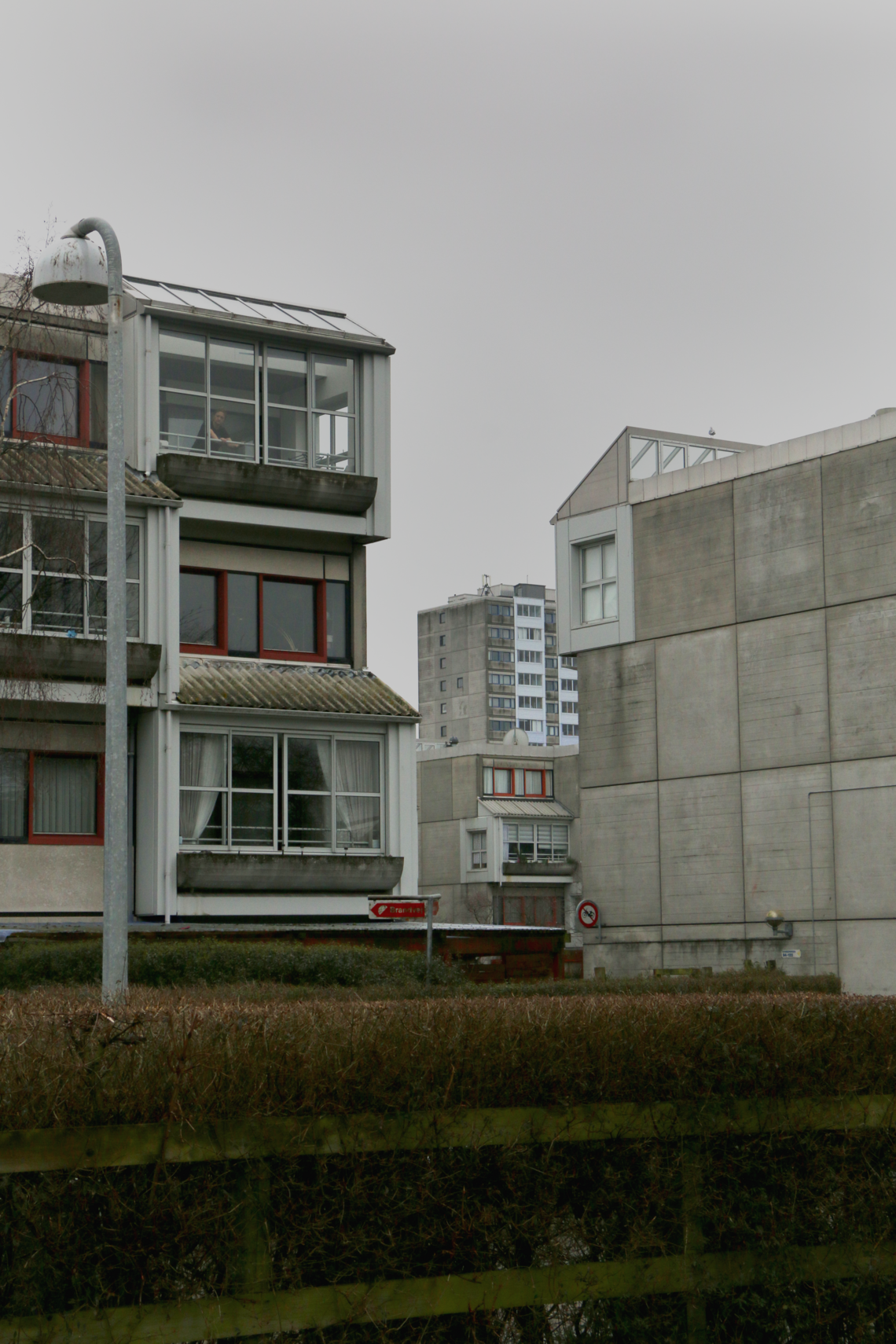
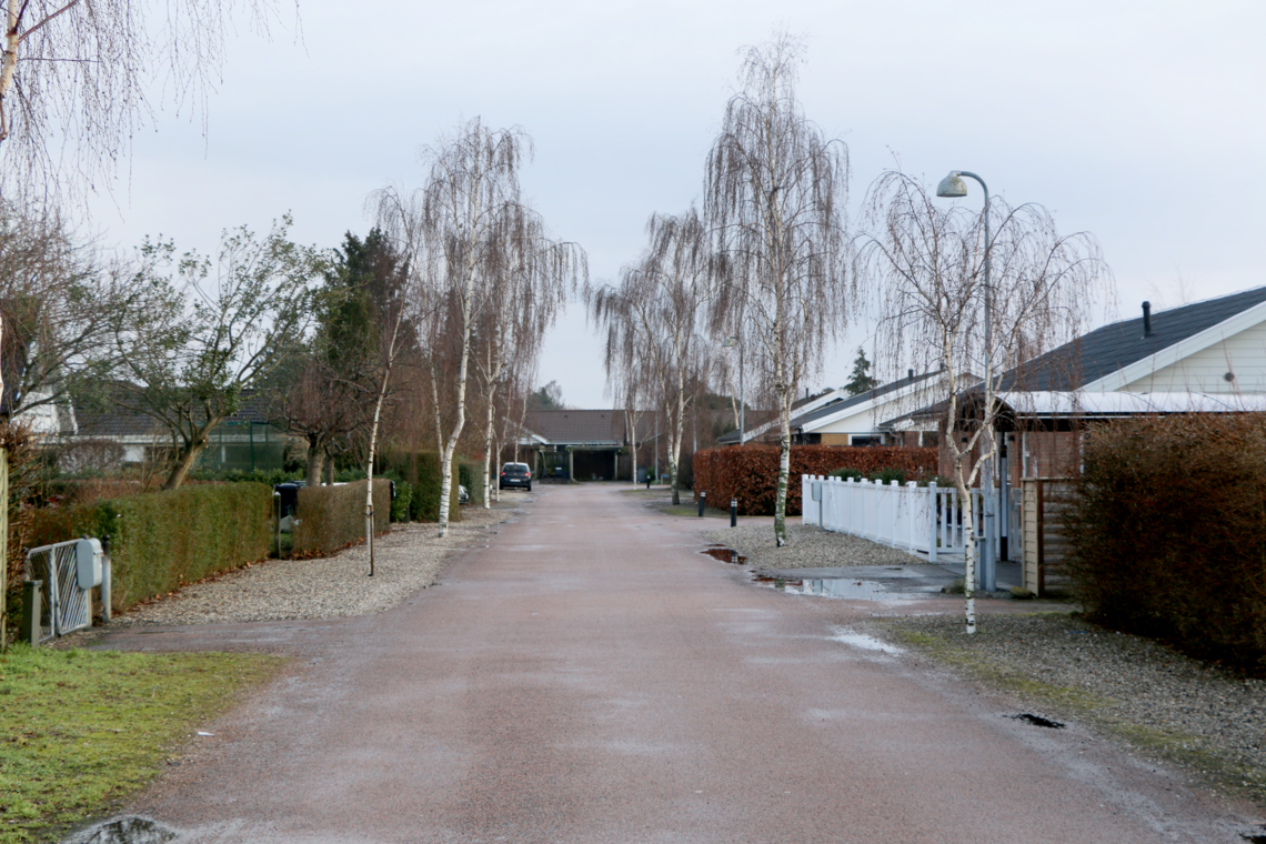
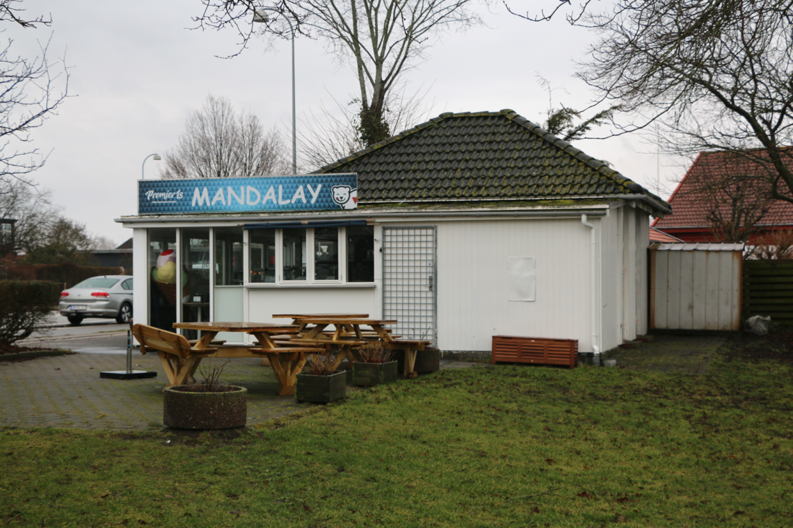
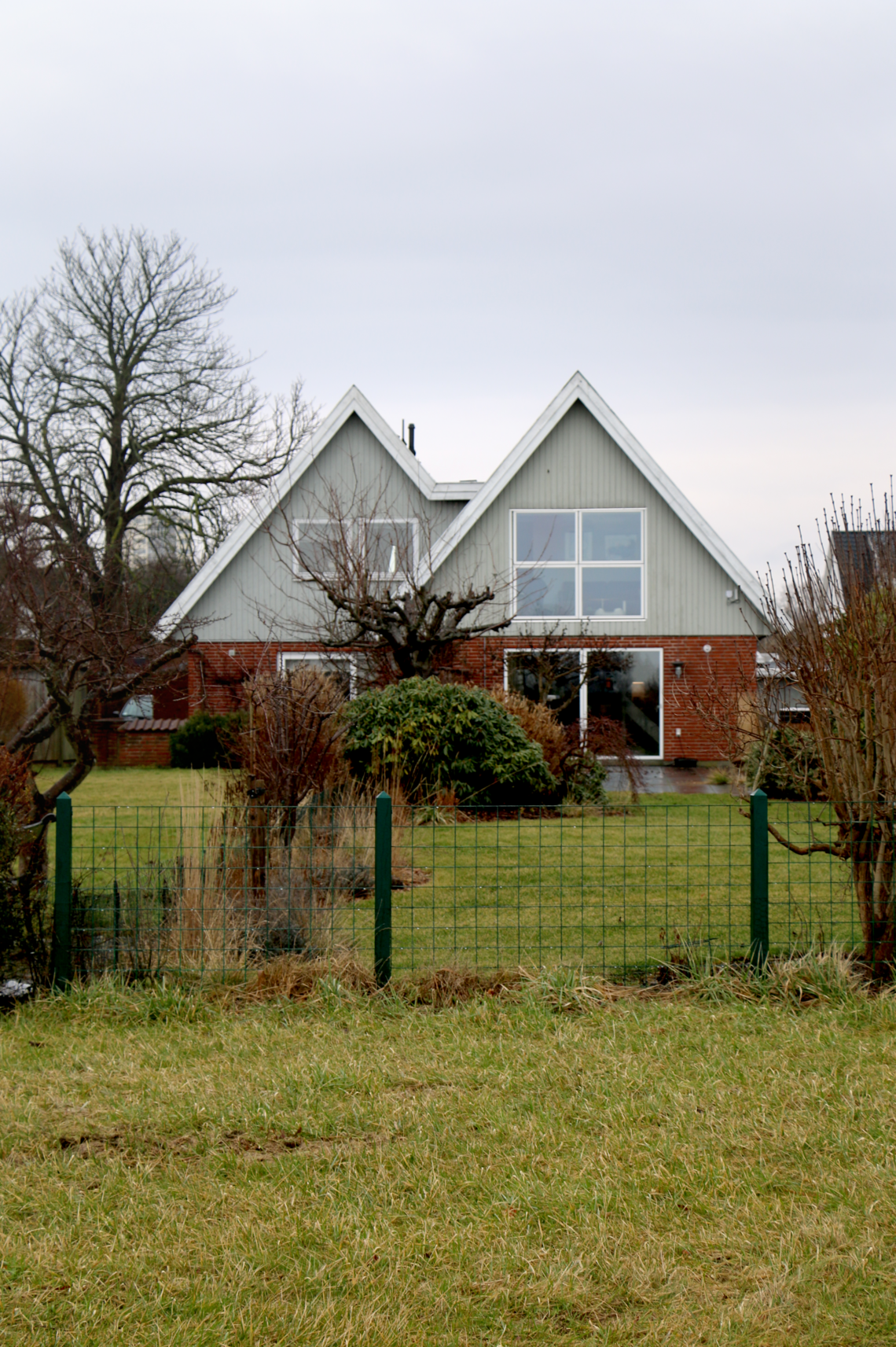
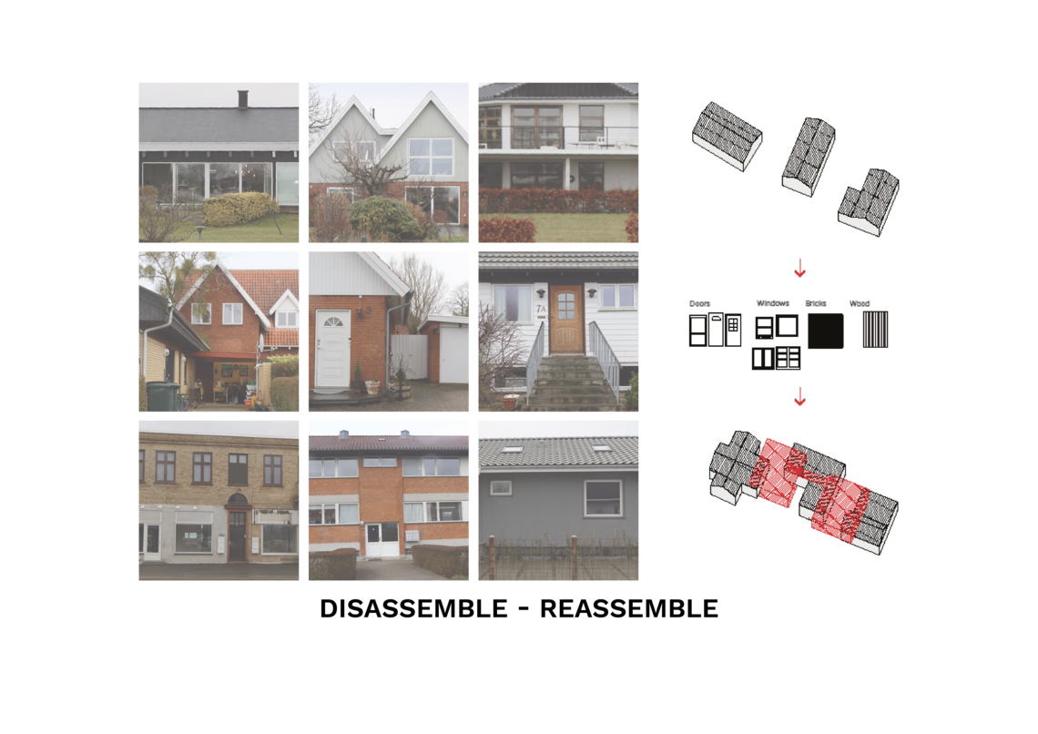
The project is explored in the context of Køge Bay, across Vallensbæk and Brøndby Municipality. Within the greater Copenhagen region they are designated as a high-risk area for future flooding, necessitating the need for future climate adaptation. Originally agricultural, the area was largely developed post-WW2, including the construction of the Brøndby Strand public housing complex and Køge Bugt Strandpark. Today, large parts of the area is constituted of suburban single family homes.


Strategy
The strategy explores the integration of ecological and social ecosystems within Vallensbæk and Brøndby by harnessing the waterfront as a public good. Through incorporating high-quality public spaces around water features, the strategy investigates how long-term planning can address future environmental risks while transforming the area into a more socially equitable landscape.
Presenting an alternative to the short term measures often utilized today, the strategy proposes a retreat, letting the water in, and reprogramming the waterfront.
In the project, various typologies are used as examples of transformations, such as various ways of how the suburban is altered, or transformed towards something different.


A strategy in 3 parts
Through the envisioning of a 100 year plan, the project unfolds through chapters taking place over time. Namely that of The Big Turn, Retreat and Adjust. It is an urban planning strategy that aims to address long-term needs and the possible projected changes of the future, incorporating adaptation strategies like protect, accommodate, and retreat. Acknowledging the necessity of immediate interventions as well, our approach also addresses the present while preparing for multiple potential futures.
It is a project of imaginaries, an attempt to see another trajectory than the ones we often find proposed. We have attempted to create a hopeful image of architecture, and of our spatial relations in which we cope with what might be coming ahead.


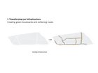
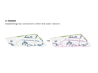
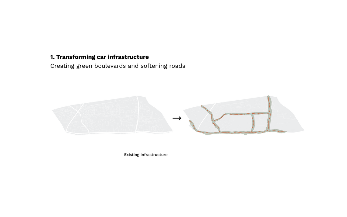
In 2024, widespread climate events spurred global protests, leading to the Danish parliament's implementation of "The Big Turn," a nationwide state-led climate adaptation strategy. This plan focused heavily on urban planning and included detailed vision plans for areas like Brøndby and Vallensbæk, identifying zones for retreat, densification, and the creation of 'sponge areas' and 'white spots' to manage rising water levels. Using topographical analysis and blue spot calculations, the strategy specified areas most prone to flooding and devised green and blue infrastructure networks to handle increased water volumes.


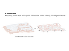
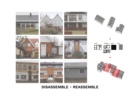
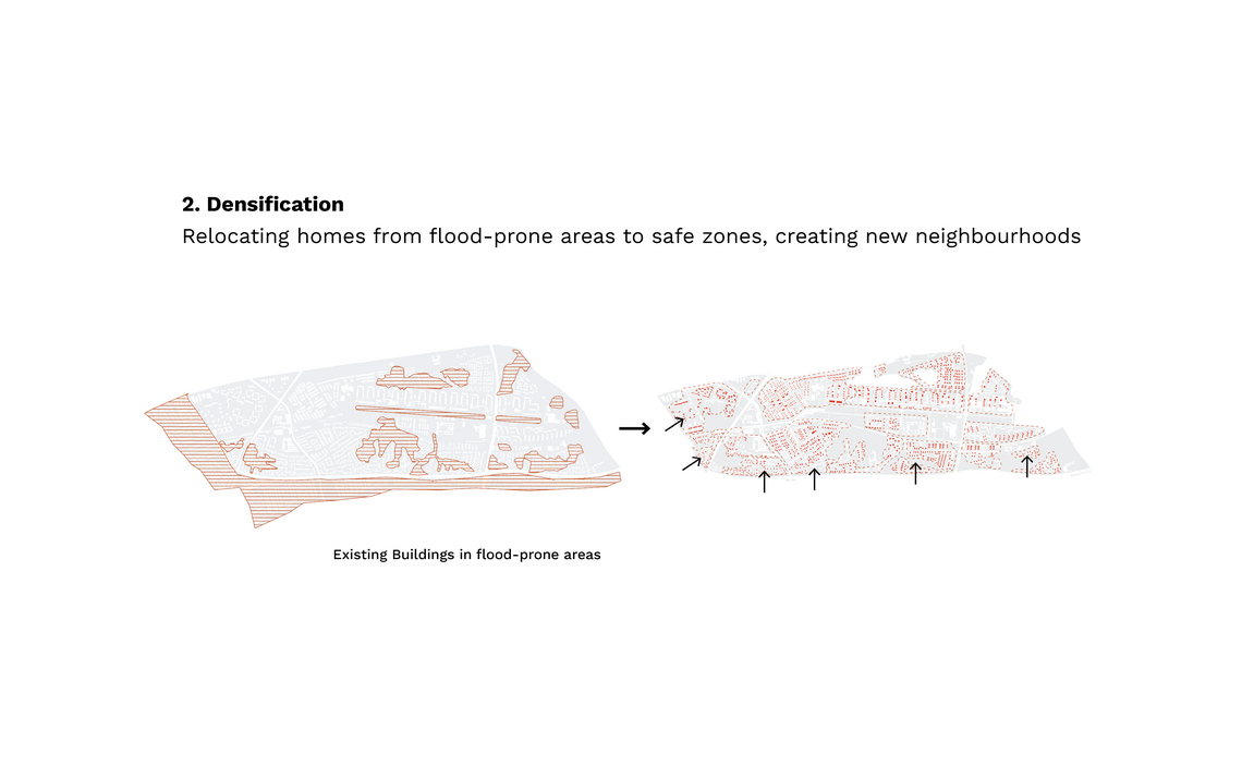
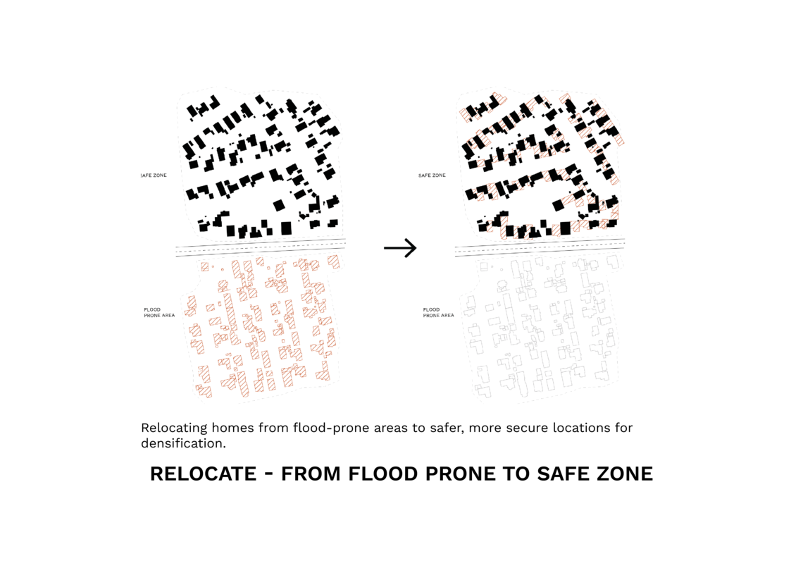
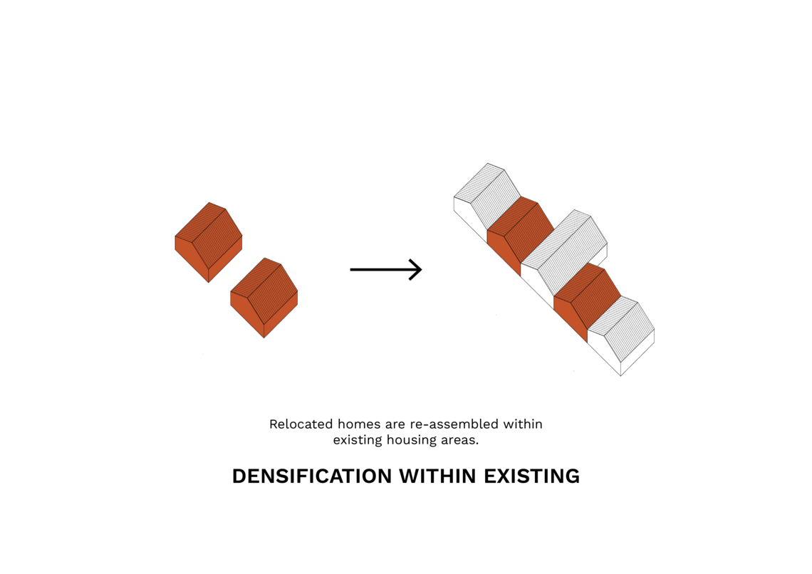
In response to frequent flooding in waterfront areas, the "Retreat" strategy was initiated to relocate homes from climate hazard zones to safer areas, promoting a shift from individual to collective adaptation. This involved a state-led buyout program from 2025 to 2035, incentivizing homeowners to move to nearby safe zones and densify existing neighborhoods.
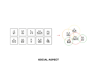
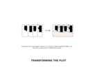
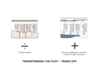
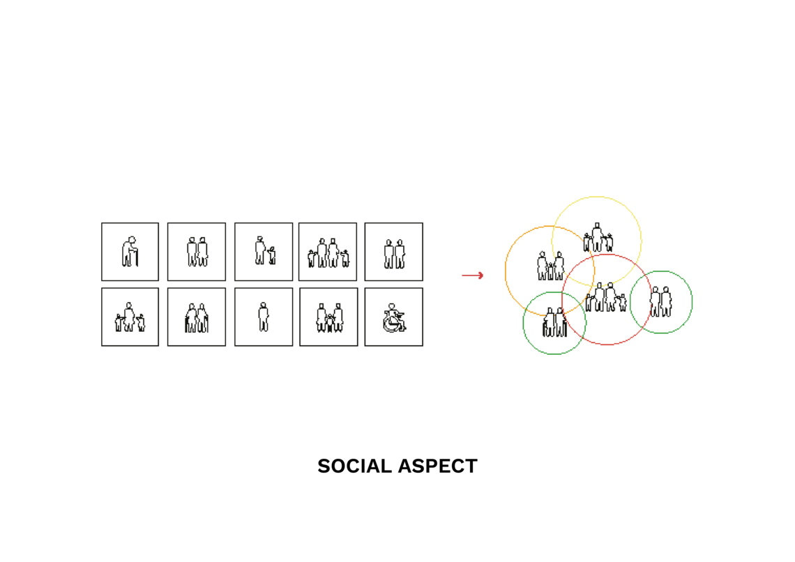
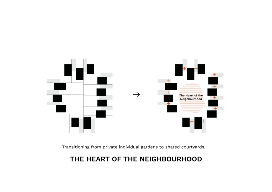
Could there be ways to go from individualism in living, towards common adaptation by our homes?


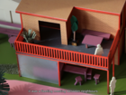
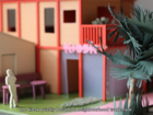
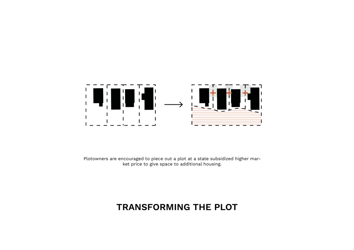
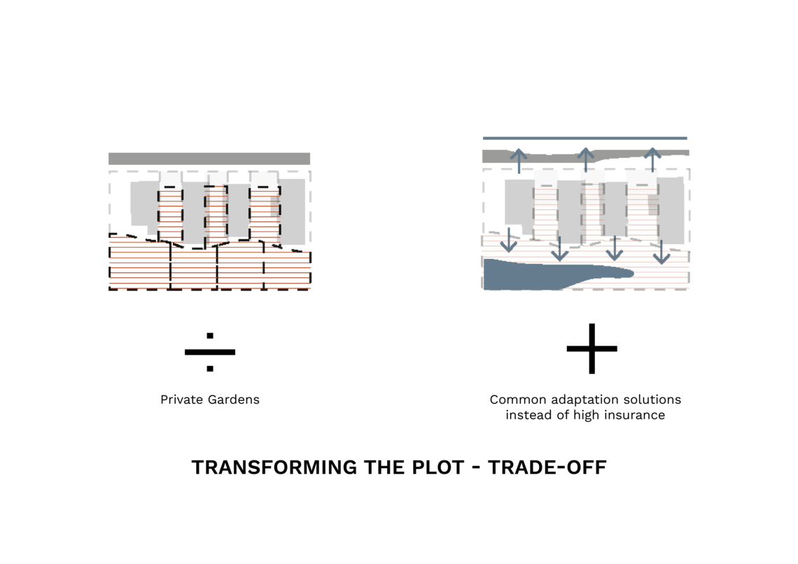
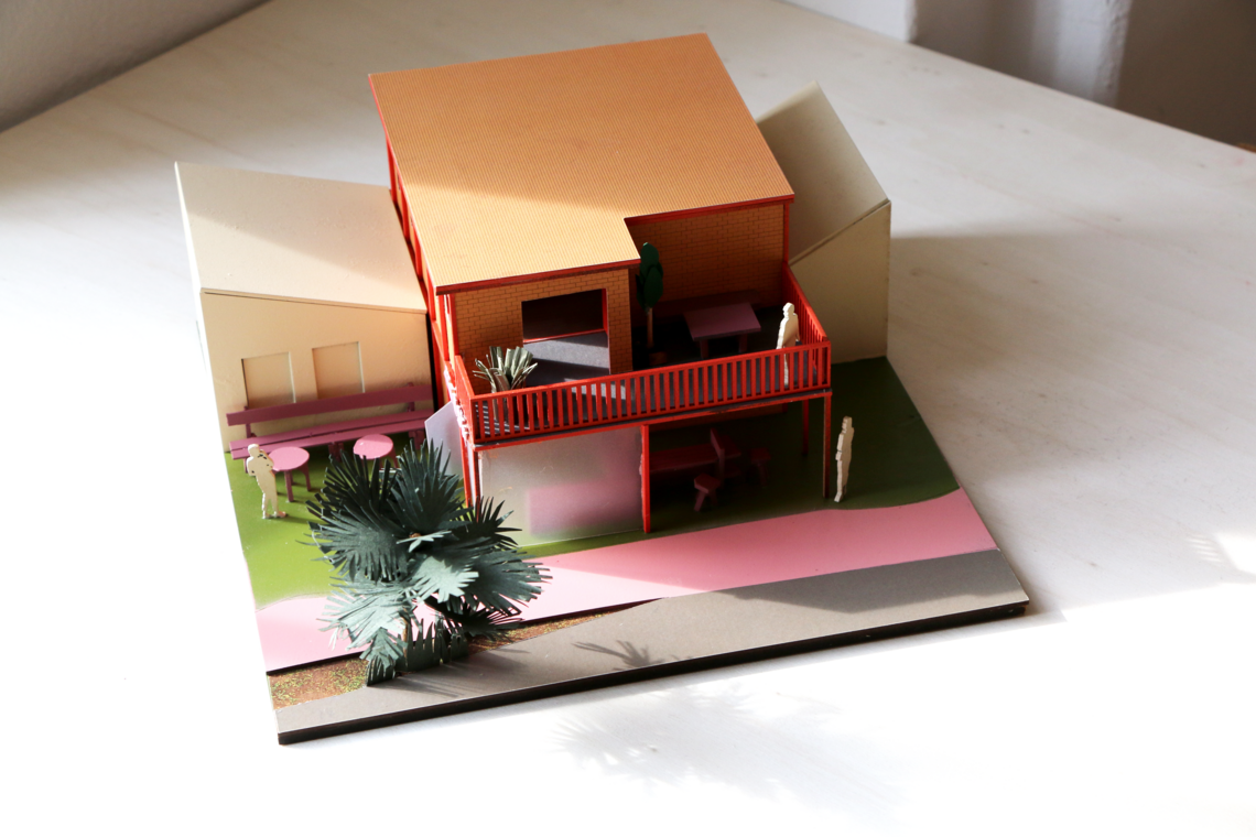
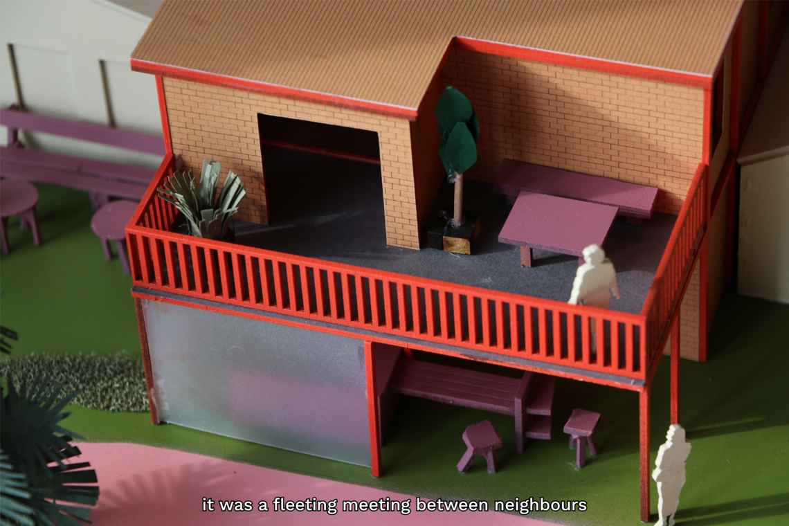
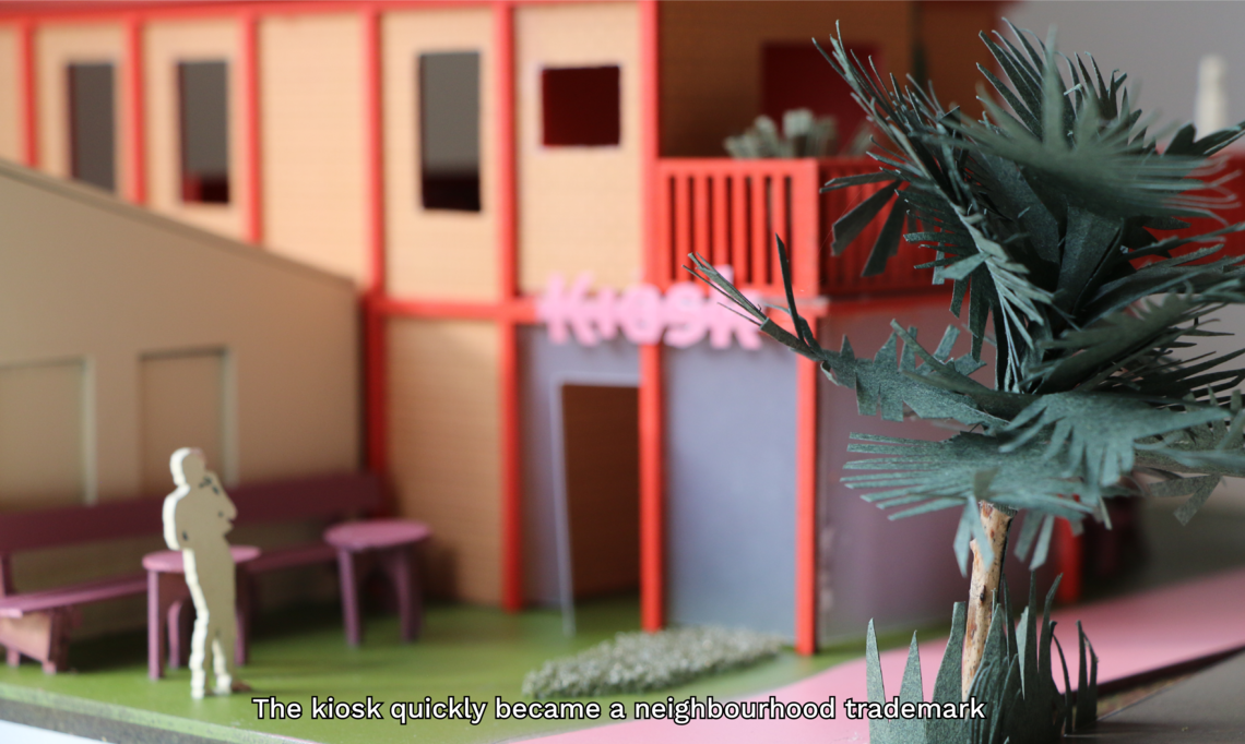
The retreat chapter involves relocating homes from flood-prone areas to safer zones, creating new neighbourhoods through densifying within existing structures. In this transition, the plot owners were encouraged to piece out a part of their plot at a state subsidized higher market price to give space for densification. As a trade-off, a common adaptation solution is implemented. The relocation gives opportunity to create new co-living situations, between the existing habitants and the newcomers. Going from the suburban fabric, towards a more urban streetscape, with potentially commercial spaces being added over time.


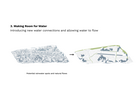
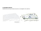
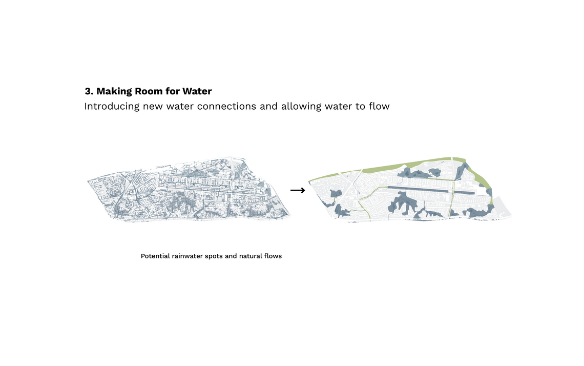
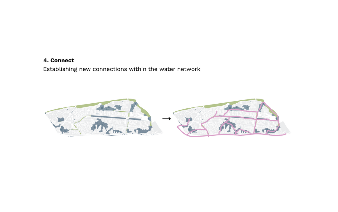
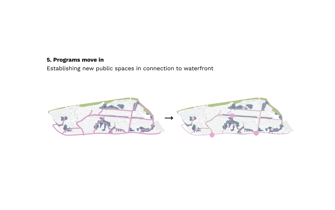
After the retreat, came the phase of adjust. Strategies were explored on how to both facilitate the increasing amounts of water, through incorporating it into the urban landscape while enhancing public space qualities. Giving space to water from the sea, from above and underground, facilitating new water flows, and programming the new waterfront to bring aquatic qualities inland. By analyzing where water would gather and flow, safe zones, called "whitespots," were created, forming the basis for new neighborhood development.


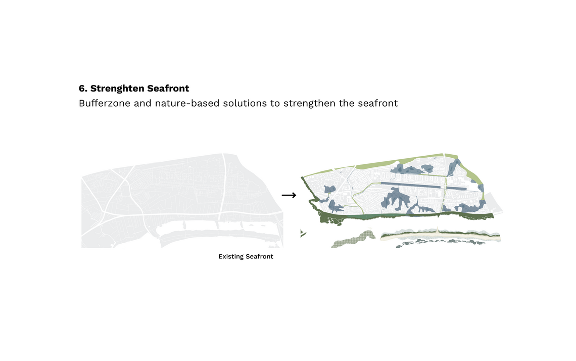
As part of the adjust strategy, a coastline transformation took place.
How could the coastal line both have protective qualities, and still offer a diverse programmatic and ecological landscape?

With a promenade as a binding element, various programs were introduced alongside landscape transformations. The waterfront was now acting as a buffer zone, with both public spaces and sport facilities, but also with the landscape acting as protective of the settlements.


What if the coastline was able to accommodate both potential coastal turbulence, while offering diverse recreational experiences? What if aquatic sport facilites, or aqua-gardening gave a new form of accessibility to the waterfront?


Salt marshes became an important typology and habitat. As salt marshes can store 30-50 times more carbon in their soil than land-based forest floors, they became highly relevant for Danish climate mitigation efforts. Besides recreational values, salt marshes provided an important breeding and resting places for a large number of wading birds.


