A Computational Framework For Animal Aided Design
Increasing the accessibility and usability of ecological data for the early phases of an architectural project
Summary:
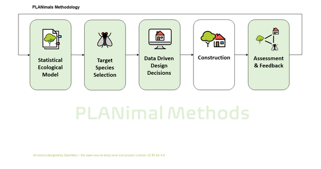
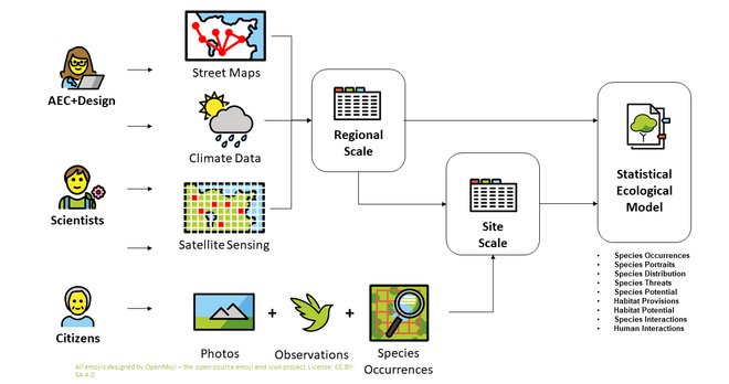
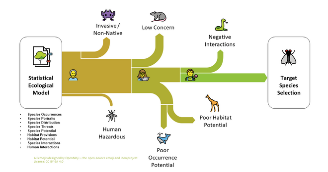
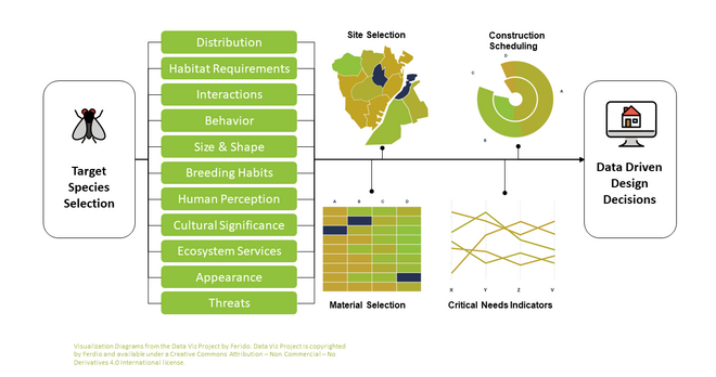
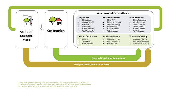
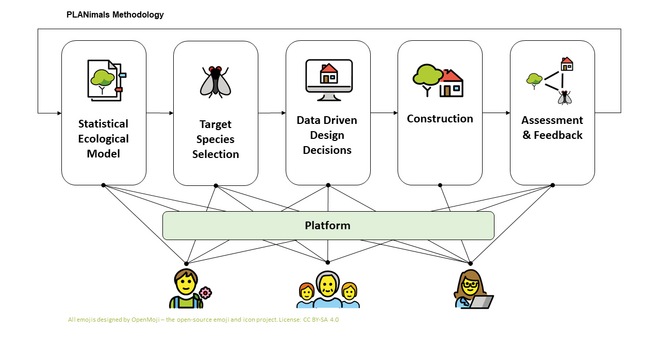
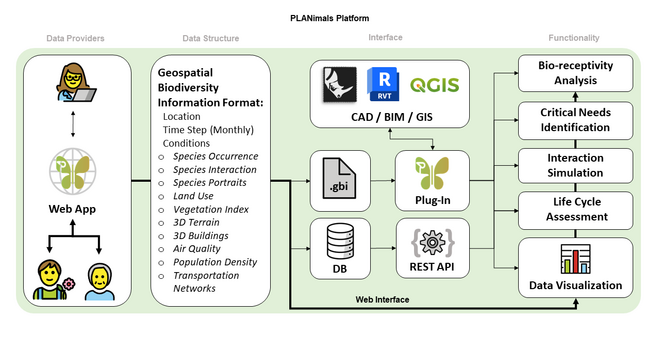
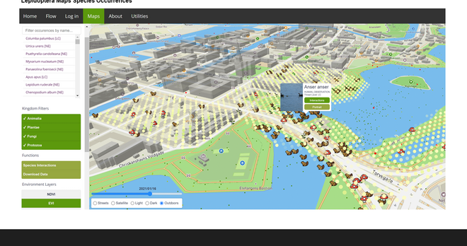
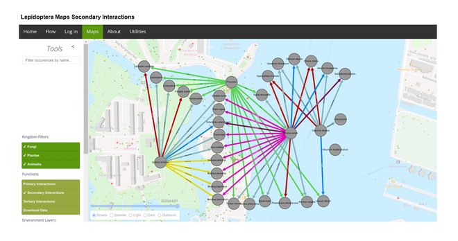
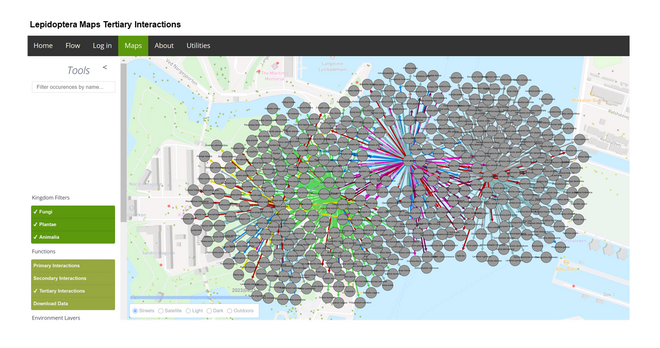
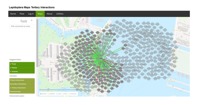
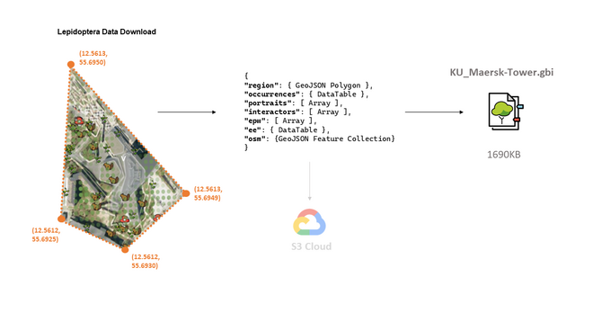
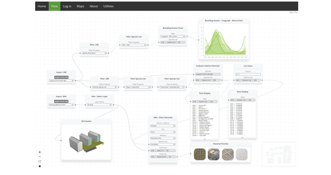
PLANimal explores how open-source geospatial ecological data can be accessibly generated, queried, structured, and ultimately drive early-stage conceptual design decisions by leveraging the collective specialist knowledge of citizens, scientists, and designers. Based on Animal-Aided-Design and Biodiversity Sensitive Urban Design principles, PLANimal is both a framework, a web platform, and a case study.
Abstract:
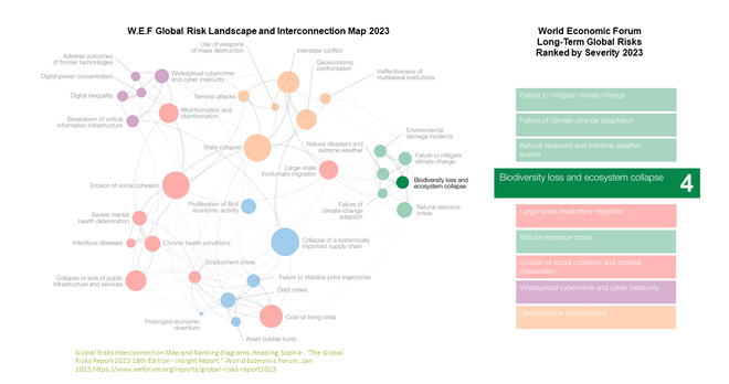
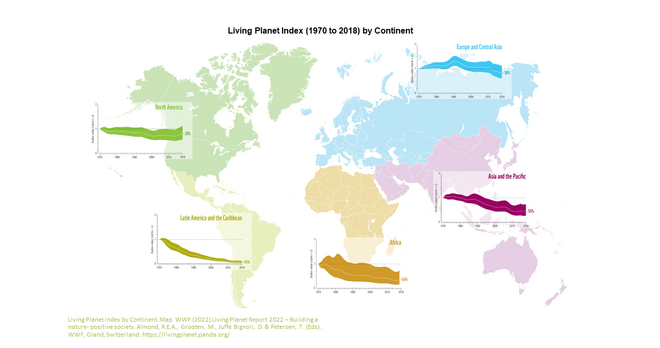
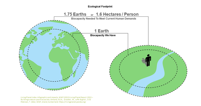
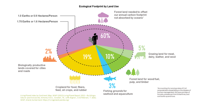
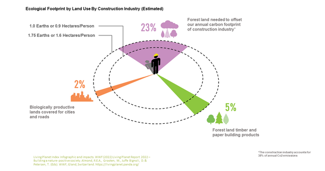
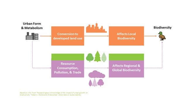
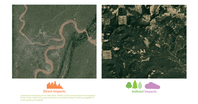
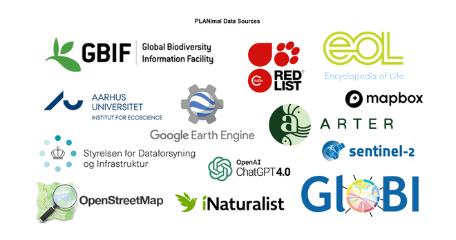
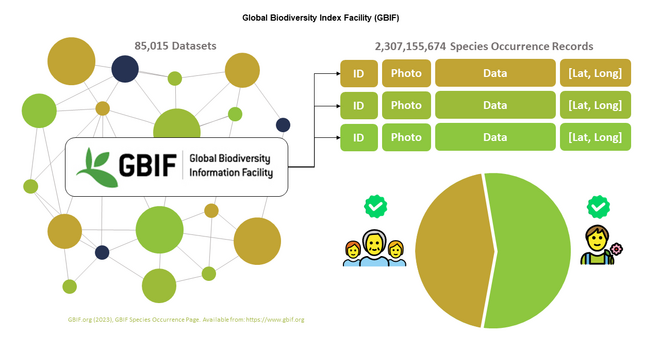
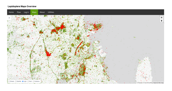
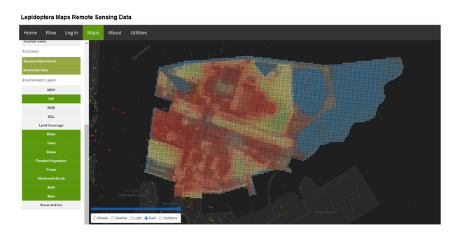
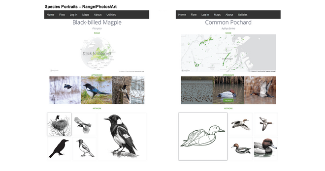
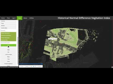
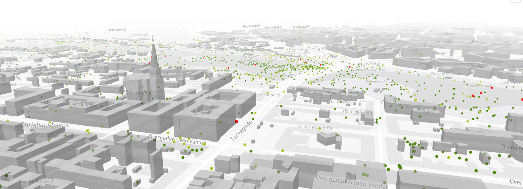
Urban development has crucial direct and indirect impacts on biodiversity. Unfortunately, the architects, planners, and developers who shape our urban environments don’t often consider the impact architectural-scale design decisions have on a given site’s wildlife ecology. Understanding and predicting the ecological consequences of architectural-scale design decisions will be increasingly important to sustainable urban development, and to reduce its negative impacts on global biodiversity. Current architectural modeling platforms enable architects to design and coordinate high-fidelity geometric building information models. However, design-for construction workflows and their associated software environments are slow to incorporate the capacity for considering non-anthropocentric, “soft” ecological information in this process. Broadly, the goal of this project is to develop a computational interface incorporates gathering and modeling ecological information and evaluating how design decisions might influence this model. Due to a short time-frame, the specific focus of this project is limited to surveying and modeling ecological conditions of limited to central Copenhagen as they relate to species of plants, fungi, and particularly animals. Three primary methods are deployed in this project. First, a web-based interface will connect and extend beyond the capabilities of Rhino and Grasshopper to retrieve, model, visualize, and coordinate ecological data. Second, a web-based map will help users gather and standardize several ecological geospatial datasets for enriching the ecological model. And finally, the platform will be used to test the PLANimal framework through a design case study looking the ecology of the Refshaleoen district of Copenhagen at an architectural and urban scale.
Det Kongelige Akademi understøtter FN’s verdensmål
Siden 2017 har Det Kongelige Akademi arbejdet med FN’s verdensmål. Det afspejler sig i forskning, undervisning og afgangsprojekter. Dette projekt har forholdt sig til følgende FN-mål


