A

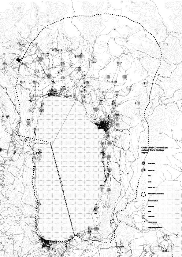
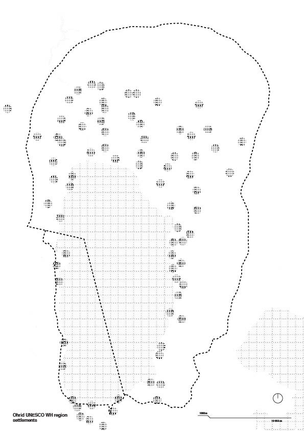
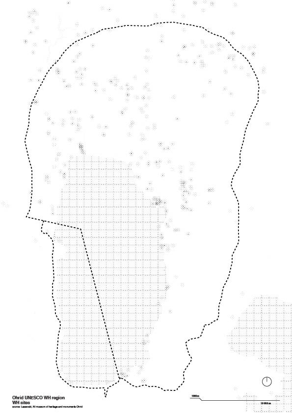
The Ohrid region is a UNESCO World Heritage site shaped by millennia of nature and human culture. Today, it faces a critical imbalance: the lakeshore is under intense pressure from tourism-driven construction and generic apartment development, while 73 rural settlements within the UNESCO boundaries sit largely empty and undervalued each carrying genuine spatial and cultural identity.
This thesis proposes a territorial decentralisation strategy as an alternative to the current model of market-led urban expansion. Rather than building new, the project asks what it would mean to wake up what already exists. Working across three scales territorial, urban, and architectural the proposal redistributes development pressure from the shoreline toward the region's rural inland settlements through adaptive reuse, renewal, and transformation.
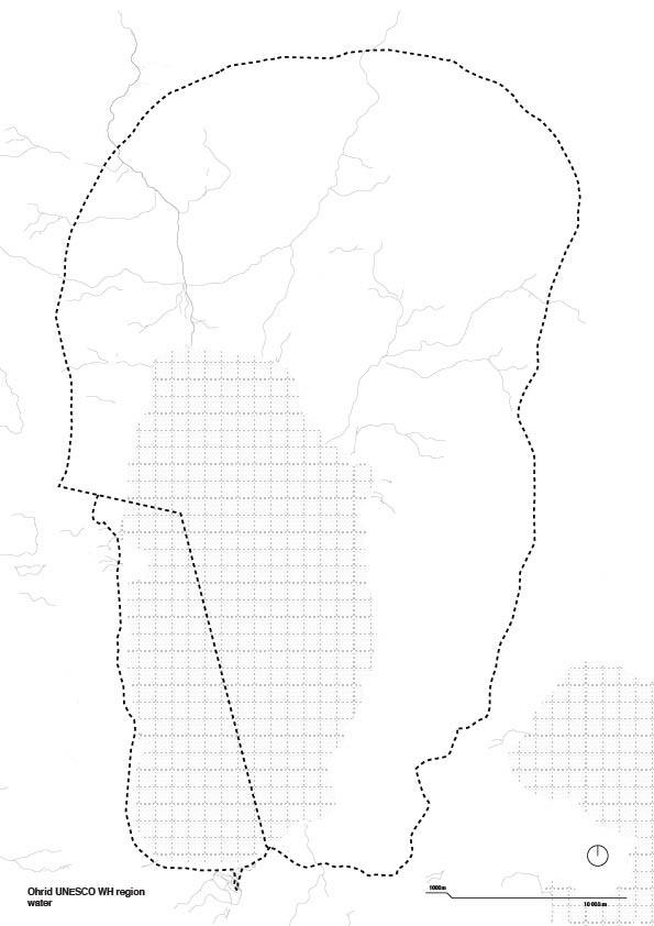
At the architectural scale, a Renew, Transform, Return framework guides decisions about the existing building stock. Water serves as the connecting thread throughout ecologically, spatially, and culturally binding settlements, landscapes, and communities into a more balanced and sustainable regional future.

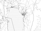
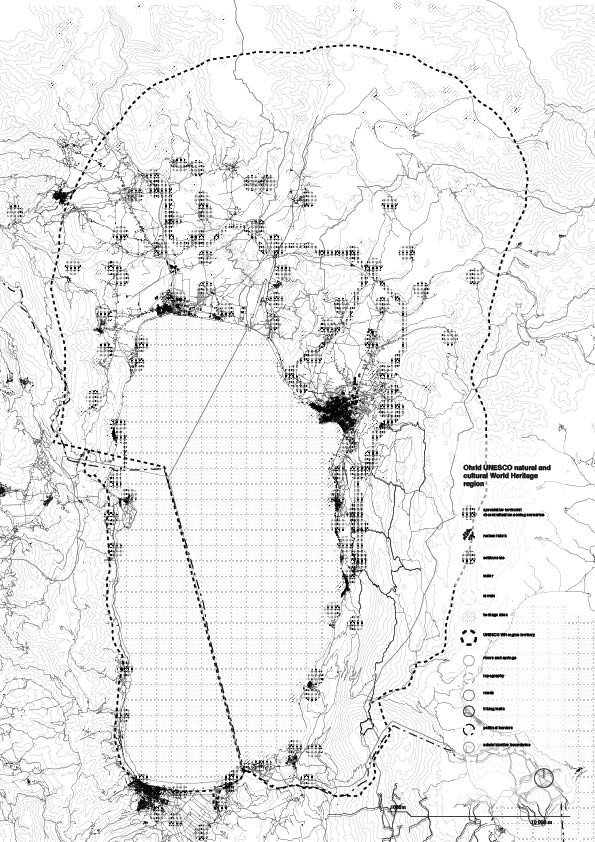
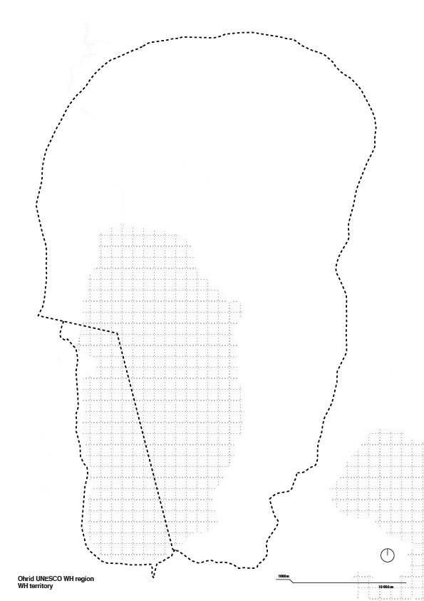
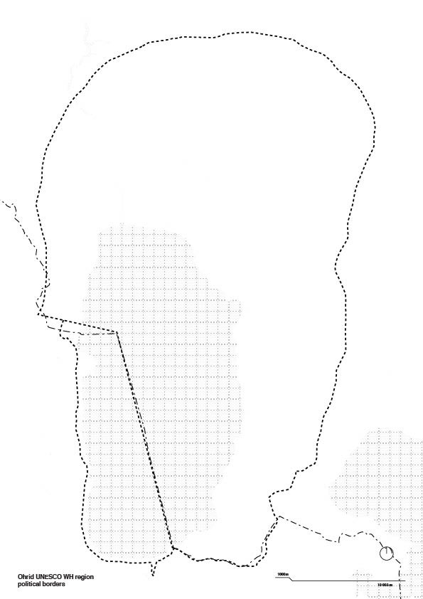
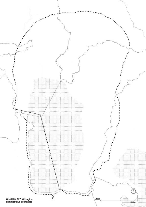
As a case study the Ohrid region was selected, It is part of the greater Ohrid-Prespa UNESCO Transboundary Biosphere reserve, as well as The Ohrid UNESCO culture and nature region in Southeast Europe, that are positioned within the Adriatic Basin.
Understanding the importance of the site we find ourselves at the lakes formation, between 1.9 and 1.3 million years ago, from when it starts its continuum, experiencing significant environmental changes, but somehow showing high resilience of it’s ecosystem, with relatively low extinction rates, explaining it’s rich biodiversity and high value (Wagner et al., 2017, p. 2049), today being a home to over 200 endemic species (Albrecht & Wilke, 2008; UNESCO, 2024).
Lake Ohrid, with strong strategic positioning and resources is the oldest (Wagner et al., 2014, p. 2), and most heritage (both cultural and environmental) sensitive lake in Europe, functions as both a hydrological system and a cultural archive, supporting endemic biodiversity and continuous human settlement for over 8,000 years (Yermokhin et al., 2025, p. 11) labelled with UNESCO OUV criteria (i), (ii), (iii) and (vi), making it a World Heritage-WH site.
Over time and shaped by sociopolitical factors, the region has steadily gained national and international acknowledgment for tourism, leading for it to be one of the dominant industries.


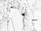
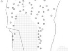
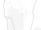
The Ohrid region faces a critical territorial imbalance. The lakeshore is under intense pressure from tourism development and generic apartment construction, contributing to pollution, infrastructure strain, and the degradation of a fragile heritage landscape. Meanwhile, 73 settlements within the UNESCO boundaries sit largely abandoned and underutilised each with its own spatial identity and story, overshadowed by the centralisation around the town of Ohrid. The question driving the project is: why build new, when so much already exists?

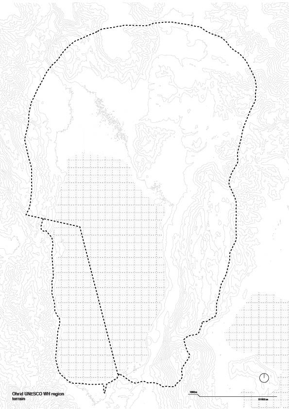
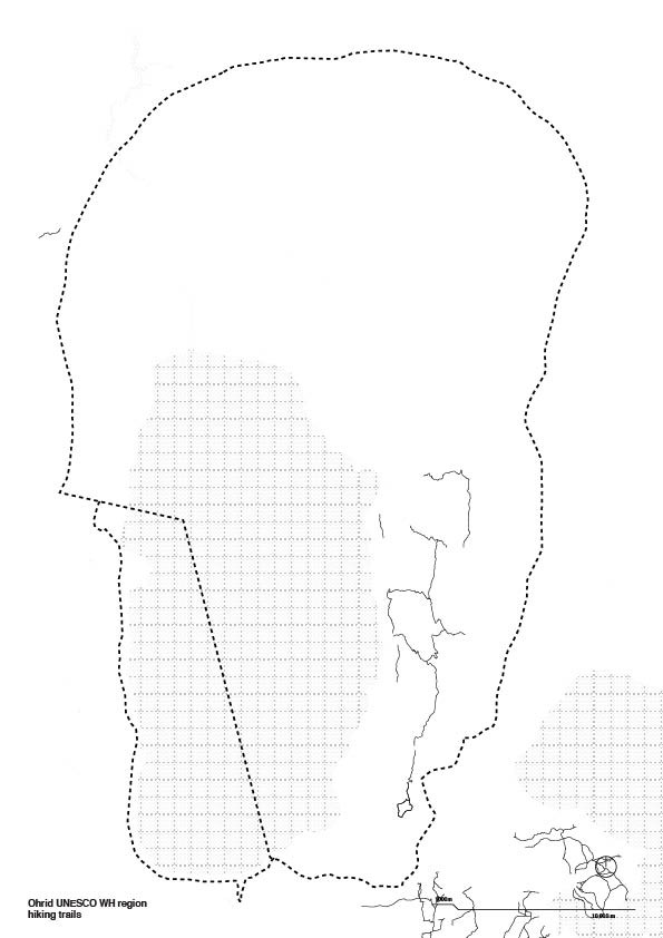
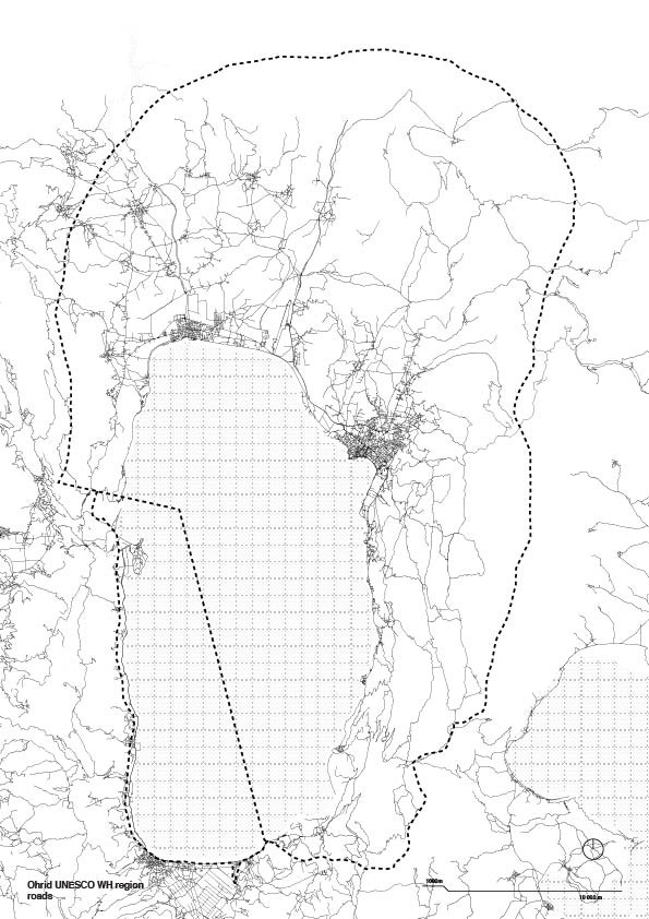
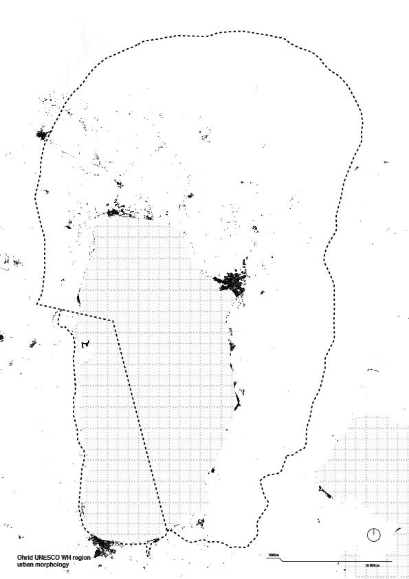
The project is grounded in three fieldtrips to the Ohrid region, 11 stakeholder interviews with professionals in heritage management and planning, and the mapping of 73 settlements across the UNESCO territory. Epistemic tools hand drawing, cartography, archival research, and material cataloguing were combined with operative tools including GIS analysis, parametric modelling, drone documentation, and CNC-milled physical models. The design process was iterative throughout, using drawing and model-making as tools for thinking and decision-making, not just representation.


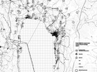
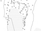
Settlement Typologies


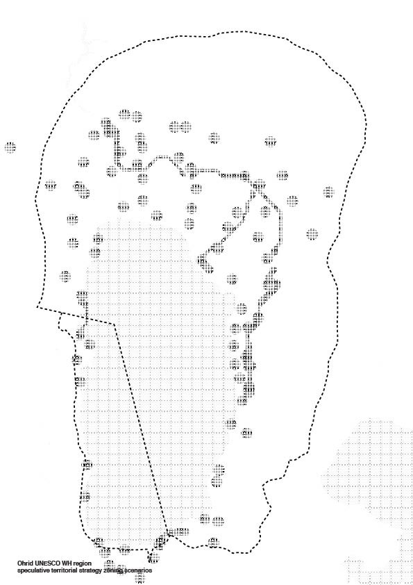
The proposal operates across three scales territorial, urban, and architectural. At the territorial level, a decentralisation strategy redistributes development across the region's rural settlement network, using water as a connecting narrative and ecological structuring element. At the urban scale, a planning strategy for the northeast segment of the region the area most under pressure proposes zoning scenarios that explore how different settlement types could work together as a distributed, balanced network. At the architectural scale, one abandoned village serves as a case study, where a Renew, Transform, Return (RTR) framework guides decisions about the existing building stock: structures can be renewed to their original use, transformed to a new function, or returned to nature.
The territorial strategy proposes an alternative to the current developmental model where financial sustainability is prioritized, and looks forward into integrating more social and environmental sustainability as well (Doughnut for urban development, 2023). Could the market demand for housing be covered with reused infrastructure that would support the heritage values and ambient in the region, while also providing necessary structures and infrastructures to accommodate the industries? The proposal tries to identify the settlements’ drawbacks and qualities, and to utilitize their potential, as well as their integration with each other.
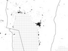
As a case study for the urban plan the northeast segment of the region was selected, as it is the one that has the most urbanization pressure and generic apartment housing typologies congestion (FS, 2025). In this case the questions that are opened up are why build new and more apartment housing along the shoreline and centralizing, while built structures, integrated in the ambient with traditional building techniques are found in close proximity.
The plan proposes zoning scenarios, possible balanced urban and architecture programmes, while also looking at how each different types of settlements might work together, part of a larger decentralized, distributed network (Dougnut for Urban development, 2023), and would that be a more sustainable model to compete with the current centralized.

For a more tangible perspective and exploration with architectural discipline means, one settlement was chosen as a case study site, an abandoned village, that slowly starts to get non-formally built, as observed during the field trips. The proposal suggests Renew, Transform and Return framework for development. Where specific structures could be Transformed; to a new funcion, for example from what it used to be housing to a new function such as visitors centre, or it’s materials to be used for another function, Renewed; when a certain structure had the function for housing, it can stay to the same intended use, and Returned; when the structure is better of to integrate and go back to nature, this example might work the best with older houses that are mostly made of stone, wood, reeds and that do not posit any threat to it’s envionment.
Aditionally, the buildings assesments could be done by a conservation specialists, and use tools such as InterSAVE.(The Danish Nature Agency, 1997)