A

Living With Stormwater explores how a data-driven design approach can transform stormwater from a threat into a resource. By choreographing buildings and landscapes into a resilient system, the project creates a new ecology – one that manages climate risk while weaving water into the cultural and spatial fabric of everyday life.
Climate change is intensifying rainfall and accelerating sea level rise, posing growing challenges for Denmark and similar regions. Conventional stormwater strategies often rely on underground infrastructure - effective, but invisible and disconnected from daily life. This project explores how architecture and stormwater management can work together to weave buildings into the landscape, creating spaces of both ecological and social value.
In Denmark, surface-based stormwater solutions are increasingly being used to enhance public space. This project builds on that shift, proposing that stormwater management can become a driving force in reshaping suburban environments - not just for resilience, but for renewed identity and connection. Using Vigerslevparken (South) as a test site, the project examines how architecture can respond to three distinct types of stormwater:
- Cloudbursts (from above)
- Storm surges (from the side)
- Rising groundwater (from below)


The focus is deliberately placed on the suburbs, where it is easier to experiment with new ways of living with water. Unlike the dense and built-up city, the suburban landscape offers space and flexibility - making it a compelling setting for reimagining how climate adaptation can shape everyday life.


This project asks: how can architectural solutions to stormwater management help strengthen the social qualities of suburban communities? It explores new building typologies that bring water into the public realm - creating spaces for gathering, reflection, and interaction, where water is embraced as a meaningful part of how we live and shape our surroundings.
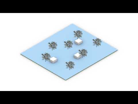
To guide the integration of water into design, the project uses multi-resolution hydrological simulations. Early-stage surface flow analyses were conducted in Grasshopper. These allow for rapid, iterative prototyping and the development of spatial strategies grounded in site-specific behavior of water. In combination with hand sketches, this workflow has been used to develop 3 building typologies that respond to the 3 directions of stormwater. The principles developed in the low-resolution simulation space have later been validated through high-resolution simulations.



To explore where each typology could be most effective, a site-specific agent-based system was developed. Ten agents were assigned to each typology, programmed to seek out the most suitable conditions across the landscape. Their movements and outcomes helped guide the evolving design strategy.
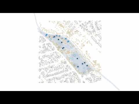

The agent-based system is developed to assist the architect by suggesting potential locations for stormwater-responsive interventions. While grounded in site-specific data, the final outcome ultimately reflects the architect’s interpretation, priorities, and design intent.

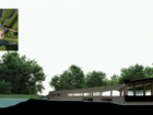
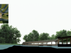
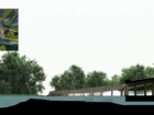
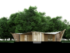
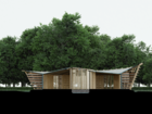
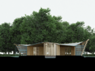
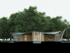
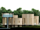
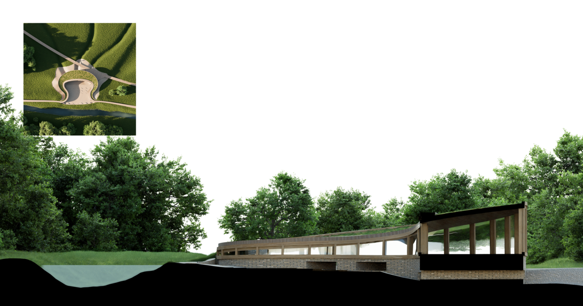
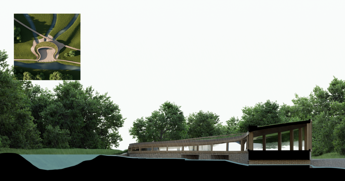
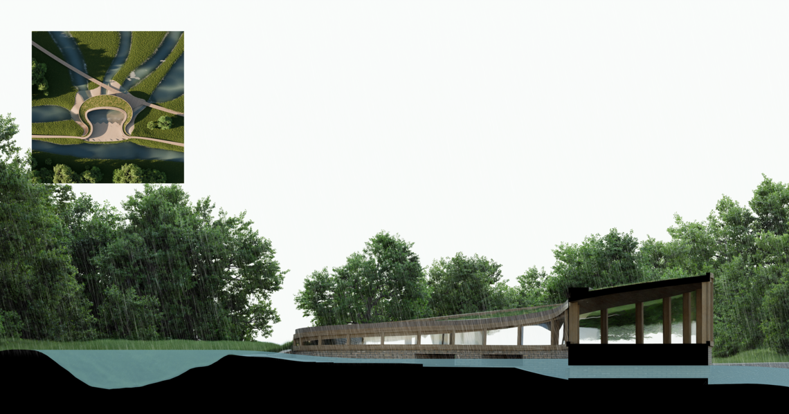
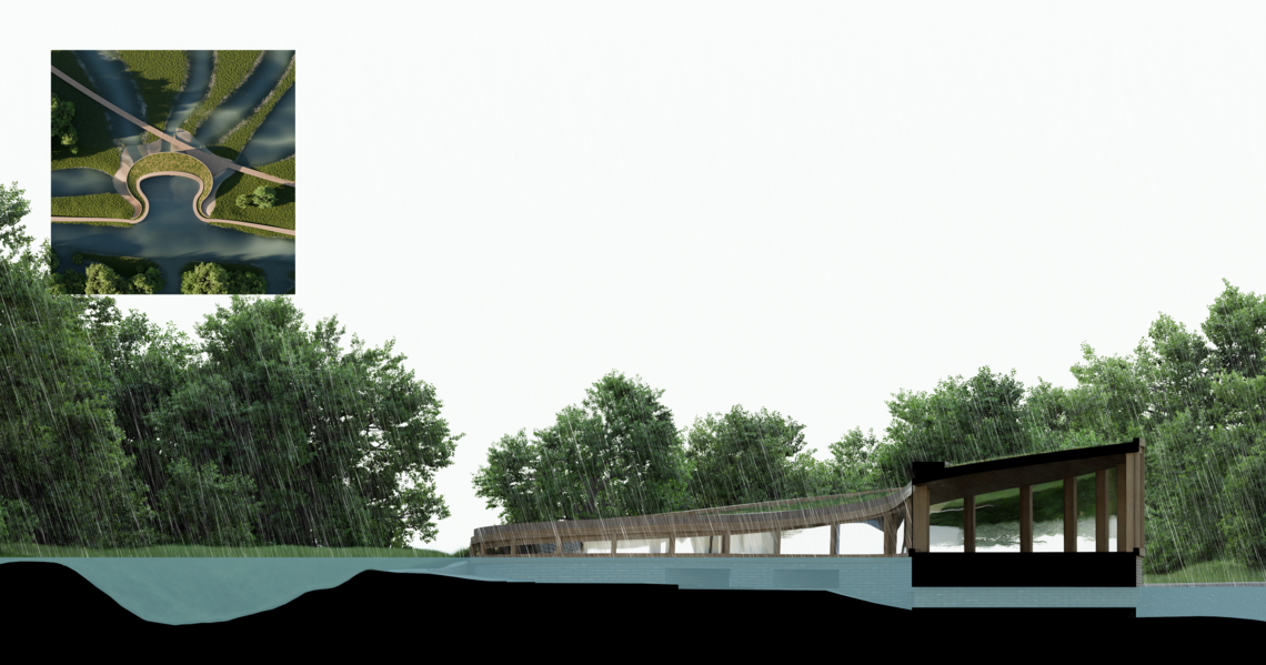
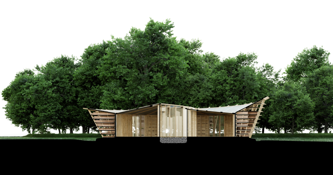
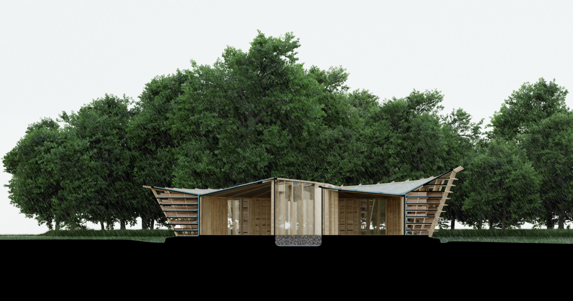
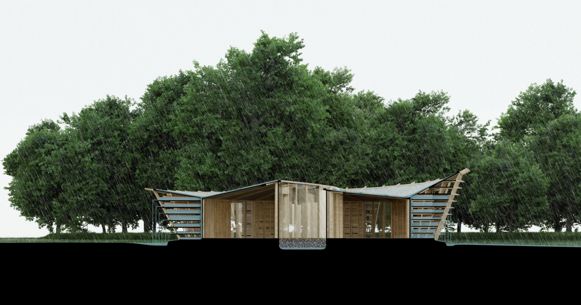
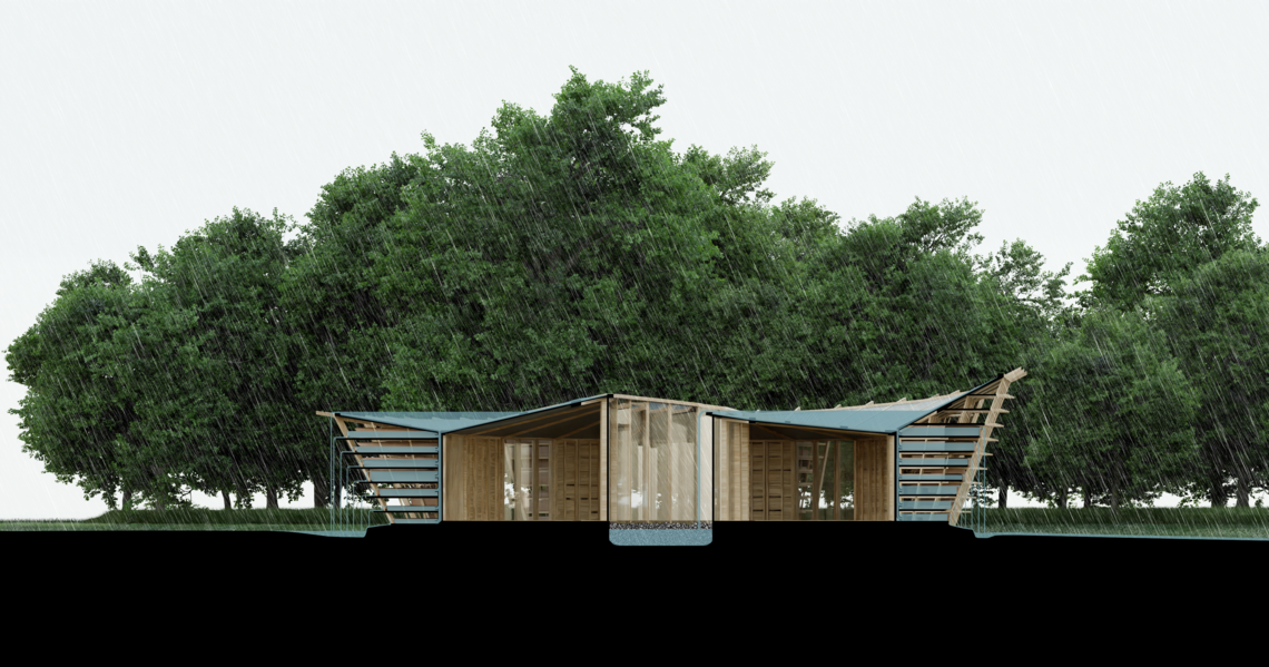
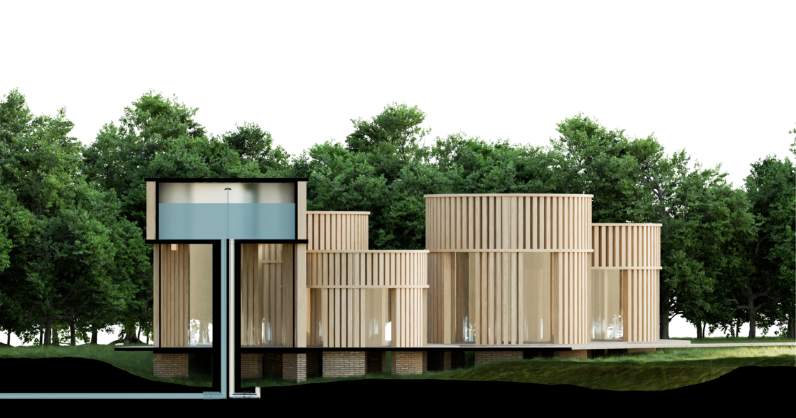
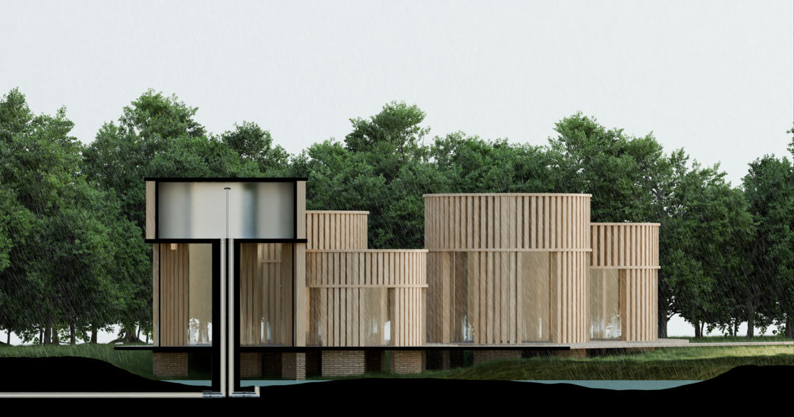
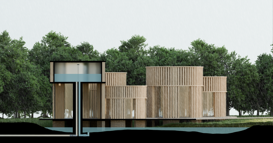
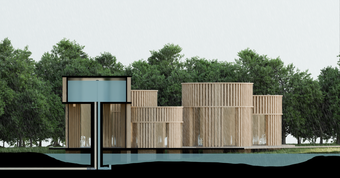
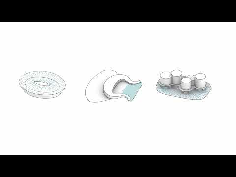
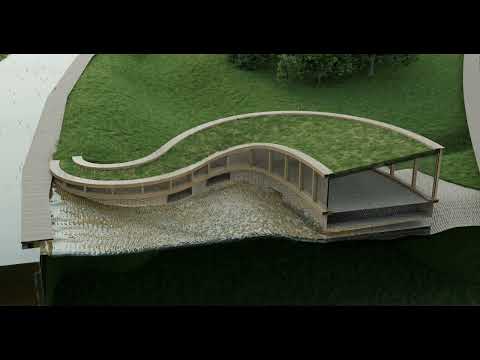
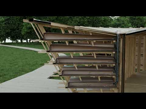
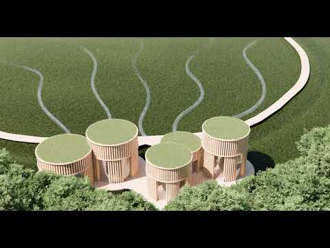
Three architectural typologies were developed, each tailored to a specific form of stormwater: The Distributor intercepts streamwater during overflow events, redirecting it into controlled landscape zones. The Harvester captures rainwater from the roof and stores it in its façade, supporting plant growth and microclimatic moderation. The Oasis acts as a seasonal reservoir, storing excess water for use during dry periods.
THE DISTRIBUTOR


THE HARVESTER


THE OASIS


High-resolution simulations are used to validate the design principles of each typology and to effectively communicate concepts requiring detailed spatial articulation.
To support early-stage feasibility, basic calculations were used to estimate the water storage capacity of the site, based on surface area, depth to shallow groundwater, and soil retention factors. These values provide a preliminary metric for guiding spatial planning and understanding hydrological performance.
When compared by capacity per square meter, the architectural interventions outperform the existing soil. However, when considering the total water storage capacity of the park - taken as a reference point of 100% - each individual intervention accounts for only a small percentage. This comparison highlights the potential for scaling: either by increasing the number of interventions or adapting their form while maintaining their conceptual function.

Ultimately, these calculations serve not as definitive targets, but as part of a broader experiment: to test how buildings and landscapes might operate as a unified hydrological ecology. The focus lies less on precise figures, and more on the potential of architectural form to mediate water, space, and community at once.

The remaining agent-generated positions offer potential for scaling. While the designs may differ, each intervention can retain its typological intent - functioning as part of the same hydrological logic.

The project envisions architecture and landscape as one integrated system - an ecology of buildings embedded in terrain, working collectively with water.

Scaling this approach invites us to rethink the forces that shape our environment. What if, for example, our infrastructure were guided not by the need of cars, but by the needs of nature?

The aim was not to define precise metrics, but to explore the potential for establishing larger, functioning ecologies between buildings and landscape.
The guiding question has been:
“How can architectural solutions on stormwater management help strengthen the social qualities of suburban communities?”
After spending time with the topic - through drawings, simulations, and strategies - I believe the answer begins to emerge when we start to imagine water not only as infrastructure, but as part of our shared culture and identity.

...when water becomes part of the DNA we associate with a landscape...

...when we miss the water, if it’s no longer present...

...when buildings can house people, water, and animals together...

...when buildings and landscape work together to control the locations of wet and dry areas...

...when the spaces created gather people around a new shared identity...