A


"Griaß Eich!" (Hello! in Tyrolean dialect)
This thesis project is a collaboration between Anneke Gerdes and Viktoria Kurstak
Guided by Care, Function and Use as Commons, our project addresses a fragile alpine territory shaken by climate change: as glaciers retreat and water grows scarce, water becomes a shared resource to collect, connect and store. Three interventions, connected by the water stream emerge and create an open “Stüberl” for the local community - grounded in transformation, adaptation and social resilience.
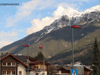
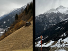
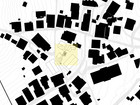
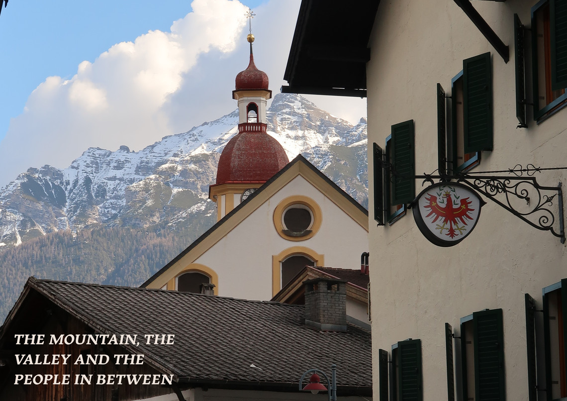
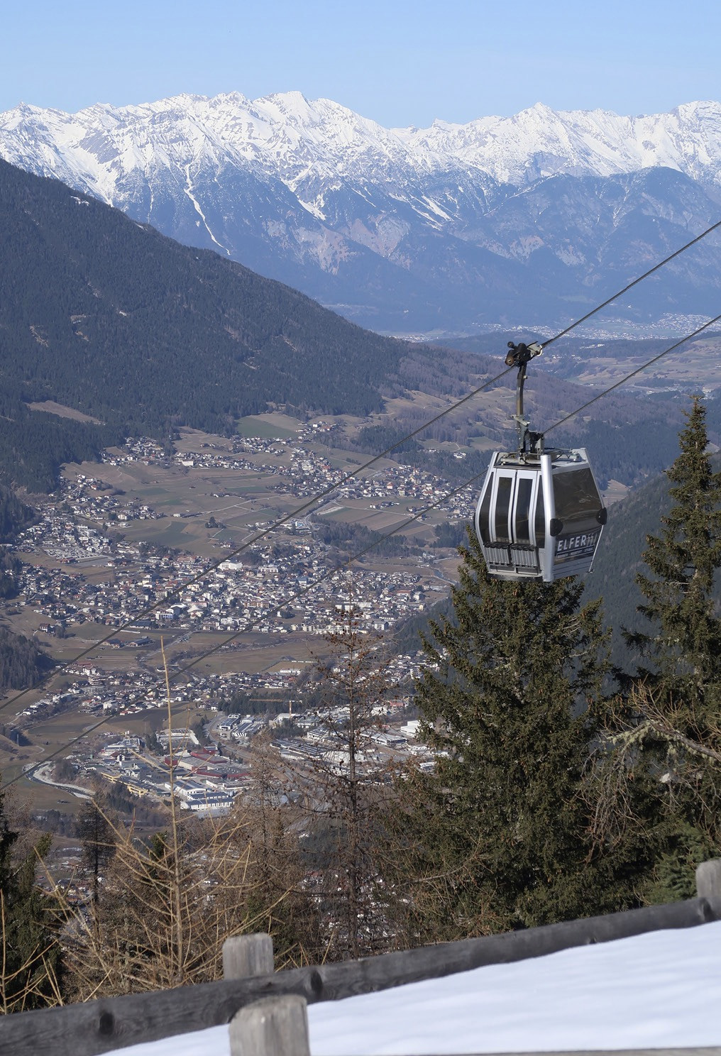
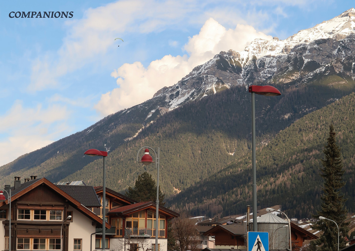
Located in Neustift im Stubaital, a village in the Austrian Alps, this thesis investigates how an alpine community can re-establish a relationship with the land on which the reside under conditions of climate change and tourism dependency. As glaciers retreat and winter tourism becomes increasingly unstable, the project questions the long- term viability of extractive and seasonal development models.
Architecture acts as a socially effective practice of care, repair and coexistence. Through mappings, ethnographical observations and site-specific interventions, we developed a network of shared spaces and water infrastructures that support year-round use, collective resource management and local resilience.

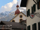
The Stubai Valley has been profoundly transformed by tourism. What was once a landscape structured by seasonal agricultural cycles and local resource economies like blacksmithing and forestry has become increasingly dependent on winter sports, external investment and peak season consumption. At the same time, glaciers retreat, changing precipitation patterns and rising temperatures exposes the limits of this model.
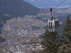
The effects of this productisation of the mountains, the rising amounts of visitors and infrastructures and the global warming is particularly visible on the melting glaciers. The stubai glacier is loosing 17,7 m of surface of ice every year, which means that the glacier will be gone entirely within the next 20 years.


Theoretical Framework & Contextual Mapping
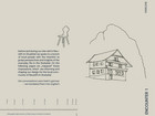
The project began with two parallel investigations. Atlas 1 established a theoretical framework, examining the historical transformation of the Stubai Valley from a productive landscape shaped by blacksmithing, agriculture and seasonal practices into a territory increasingly organised around tourism.
Atlas 2 translated these questions into a series of mappings. By tracing glacier retreat, water systems, settlement patterns and the changing relationship between the valley and the mountain, the maps revealed the spatial consequences of environmental and economic transformation. Together, they formed the basis for identifying sites and opportunities for intervention.
ATLAS 2 - ain't no mountain high enough
contextual mappings


Site Visit + ethnographical Field Work
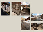
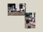
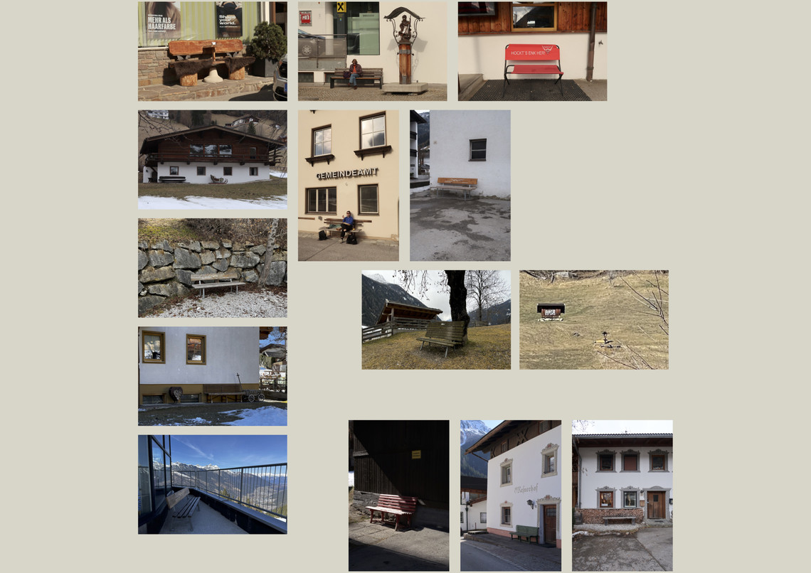
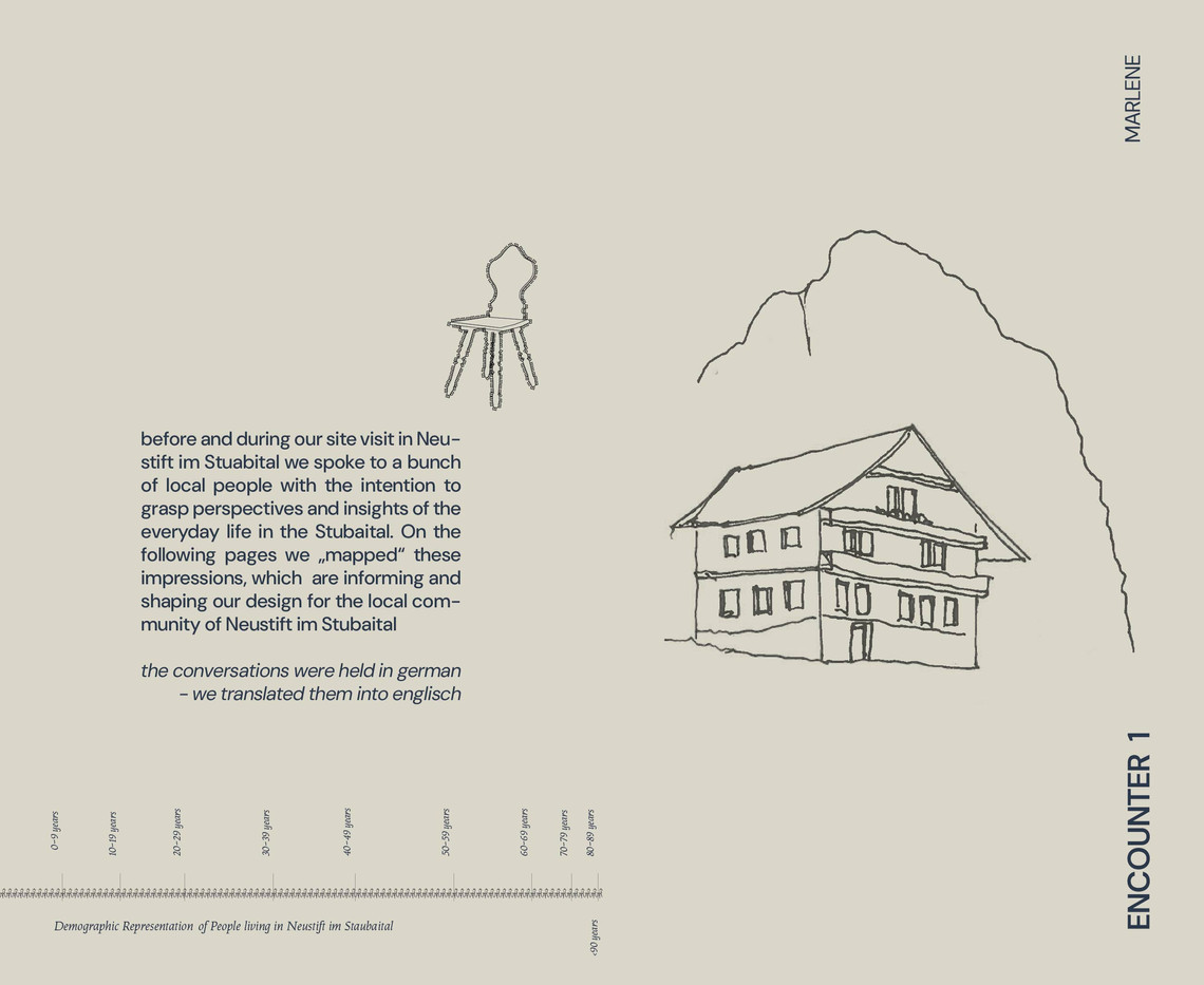
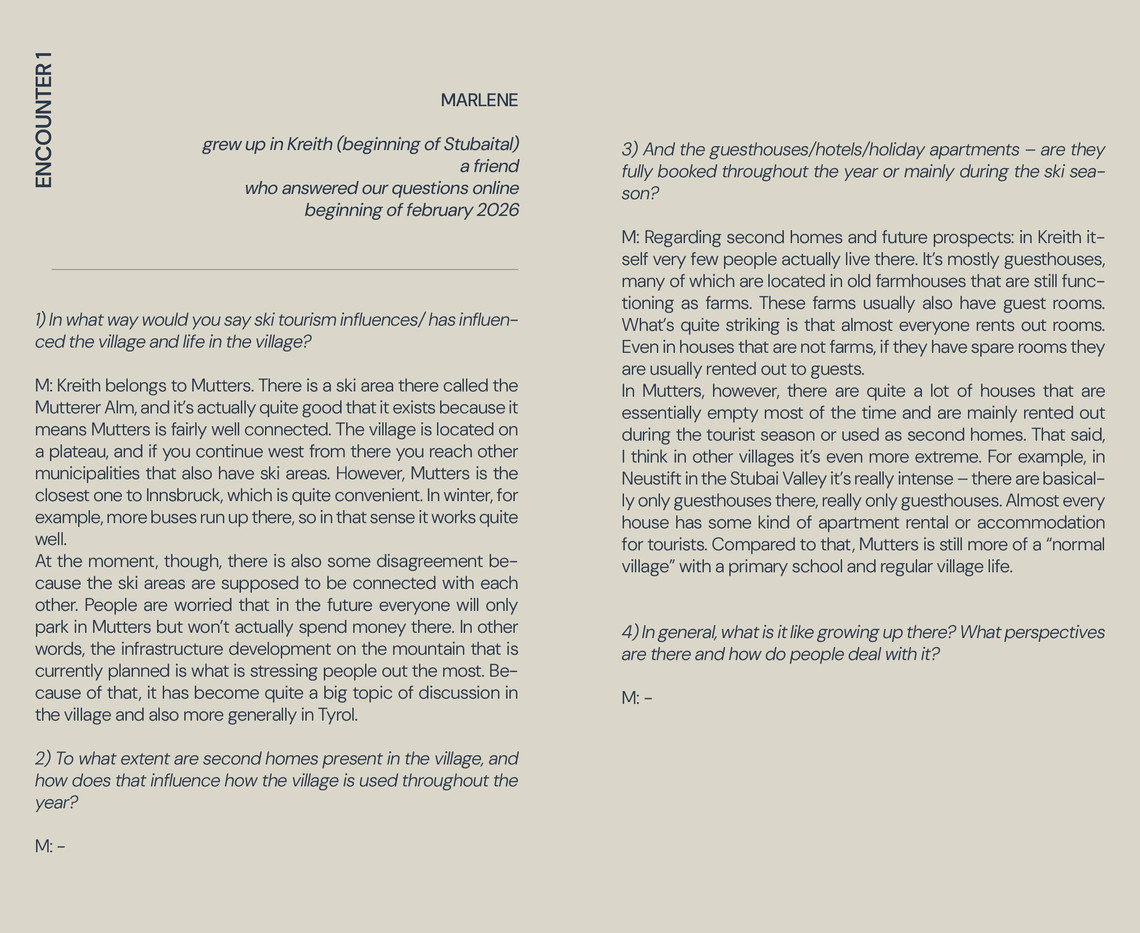
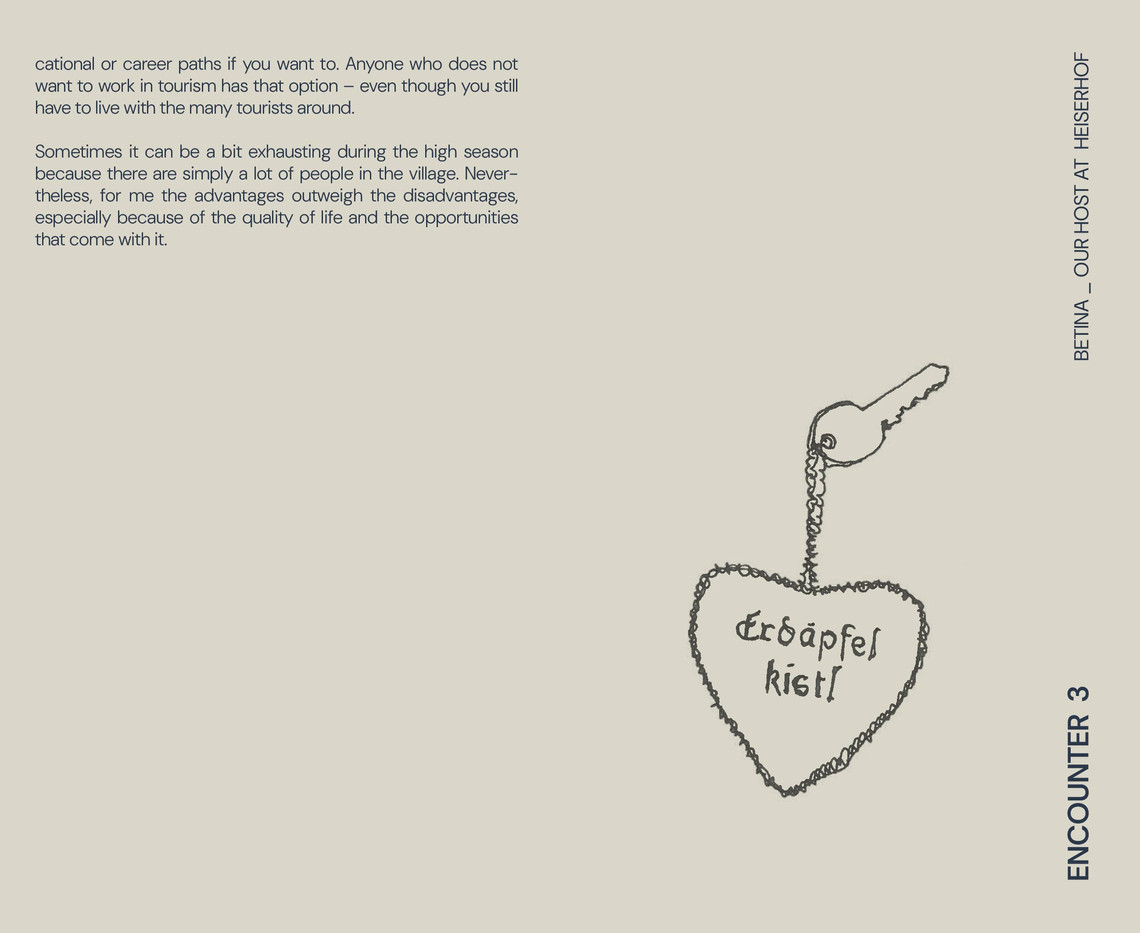
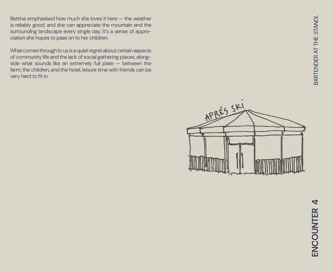
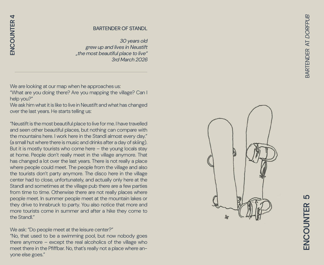
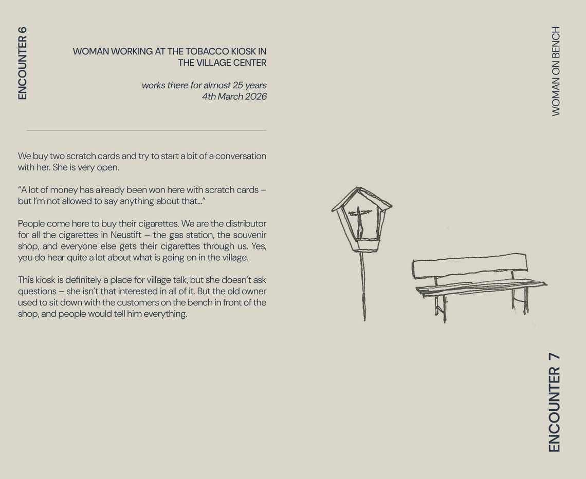
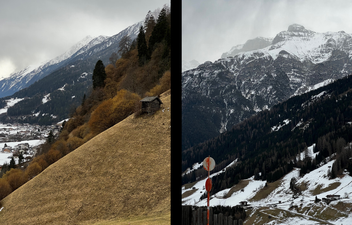
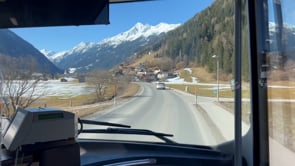
Before and during our site visit to Neustift im Stubaital, we conducted a series of ethnographic interviews with local residents to gain insight into everyday life, local practices and the sense of community within the valley. A recurring topic was the lack of spaces for social encounters and informal gathering beyond tourism-oriented programs.
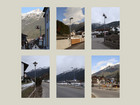
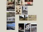
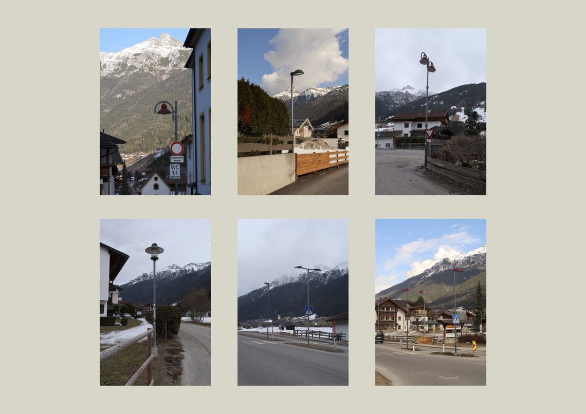
We mapped, photographed, and visualised the impressions and observations gathered along the way, allowing them to inform and shape our design response for the local community of Neustift im Stubaital.
ATLAS 3 - stubai not dubai
atmospheres and observations


Conversations and Interviews
THE STARTING POINT - THE CONNECTOR - THE TROUGHS


connected by water
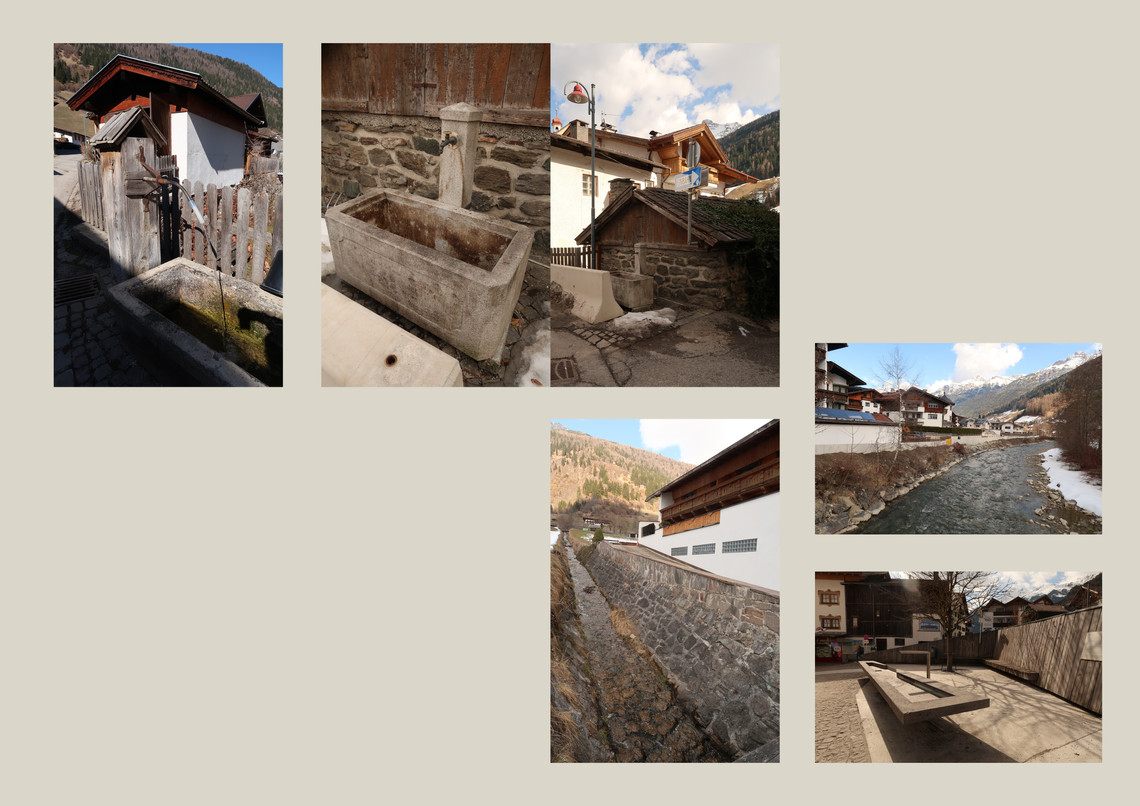
Our proposed acupunctures mark points along the stream, and water becomes the element that shapes the programs we propose. Flowing from the mountains into the valley, it links different elevations, seasons and ways of life. Existing troughs, once used to collect and distribute water, became the starting point for a network of three interventions along the stream. Water is understood as a medium that structures encounters, collective use and the relationship between mountain, the valley and its inhabitants.


The three Interventions along the Stream

01 BAGNO COMUNALE
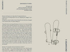
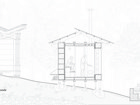
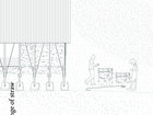
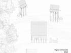
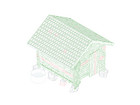
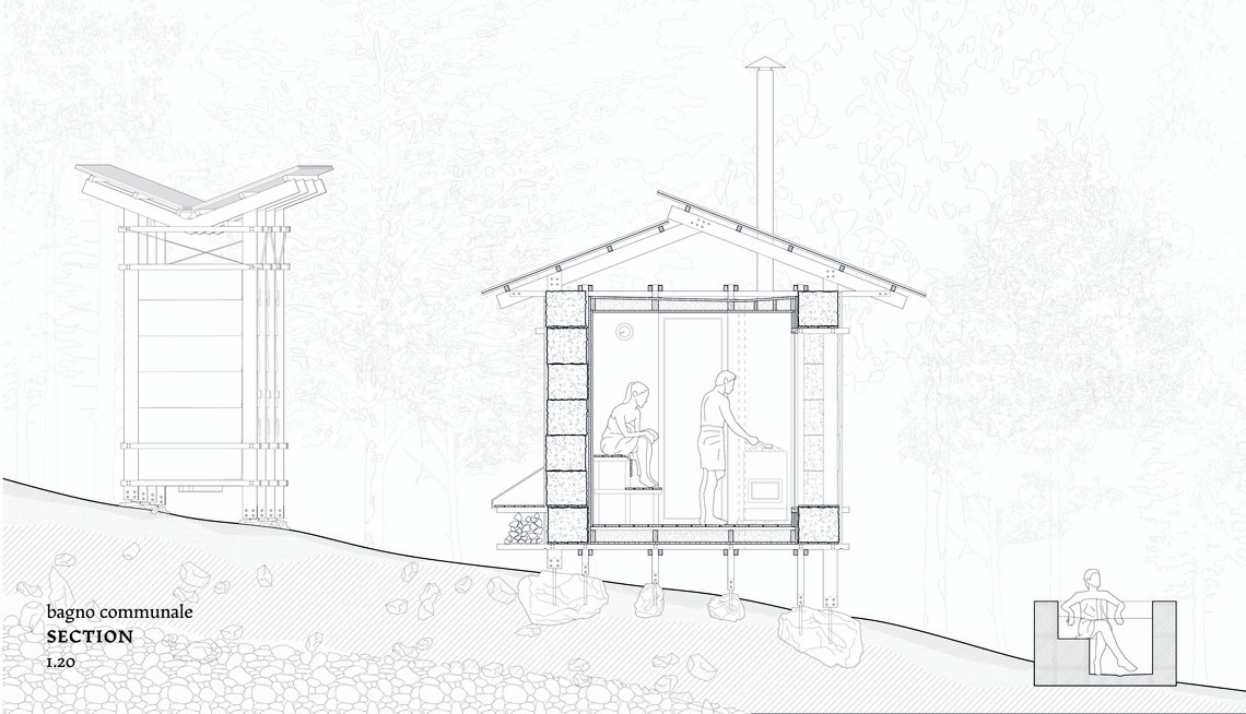
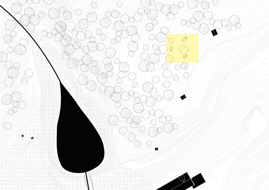
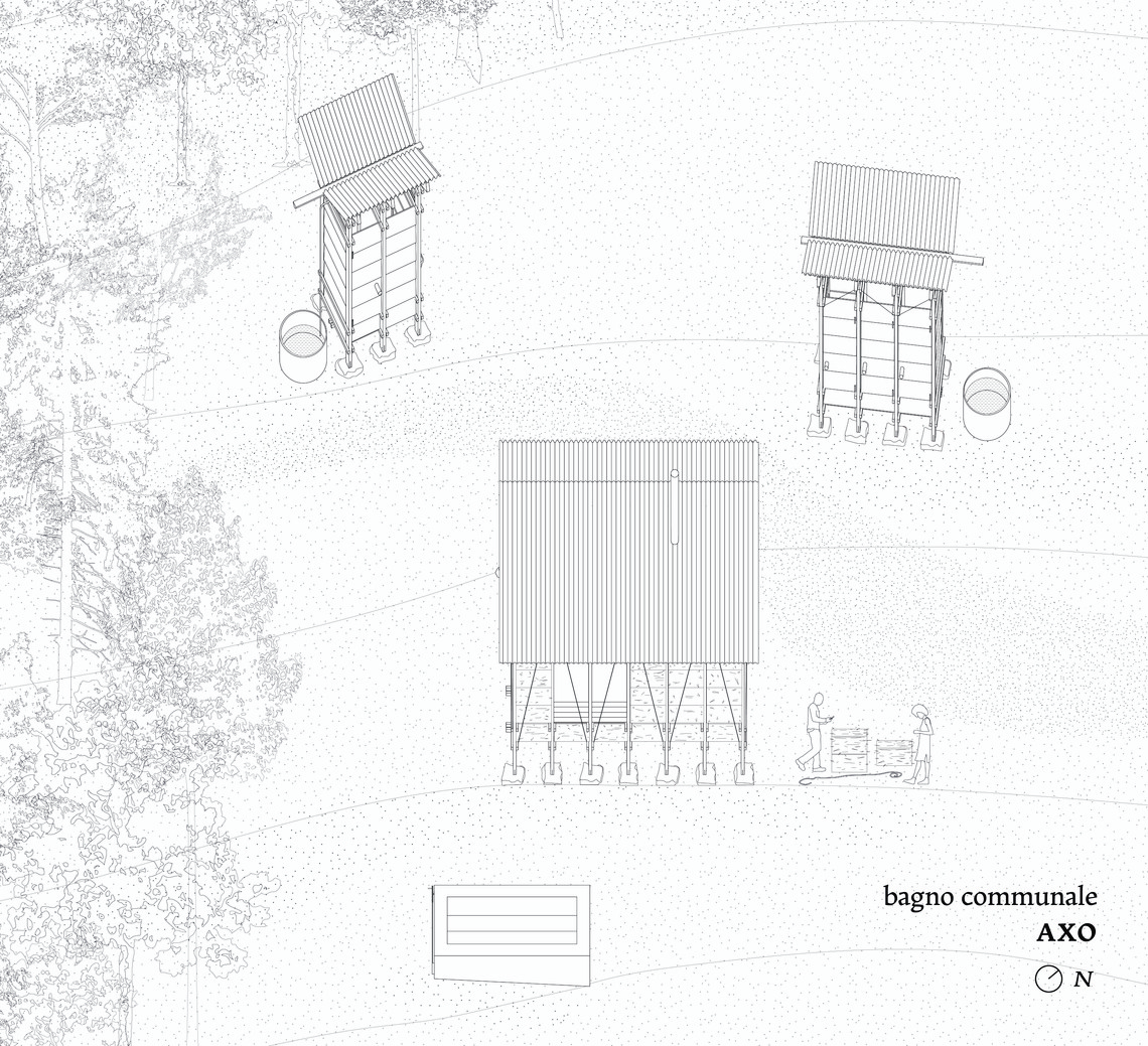
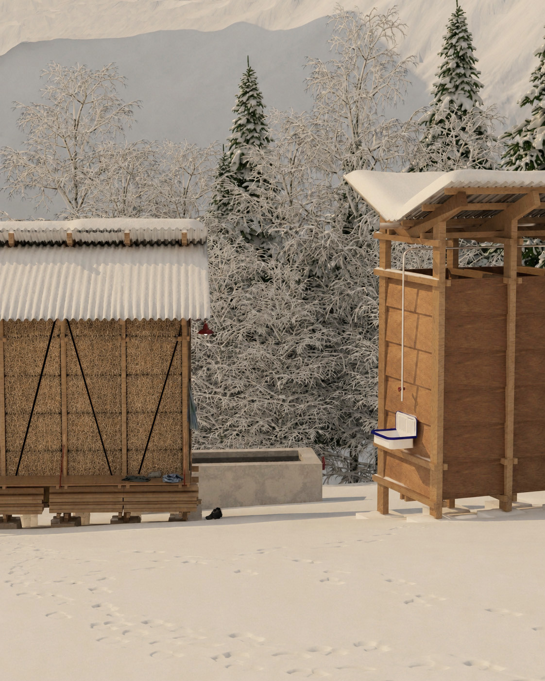
The first intervention is located around 100 meters above the village, overlooking the valley. A family of three infrastructures - a sauna, a bathroom and a changing room - is organised around a trough that collects mountain water. Used as a cooling basin after sauna sessions, the water is temporarily retained before being manually released back into the stream. Together, the structures create a place for bathing, gathering and seasonal rituals.


Through our fieldwork, we came to understand that life in Neustift revolves around caring for others — animals, the farm, guests. Rarely do locals find the time, or grant themselves permission, to pause and care for themselves. The sauna is conceived as an invitation to do exactly that.
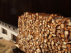
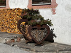
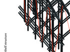
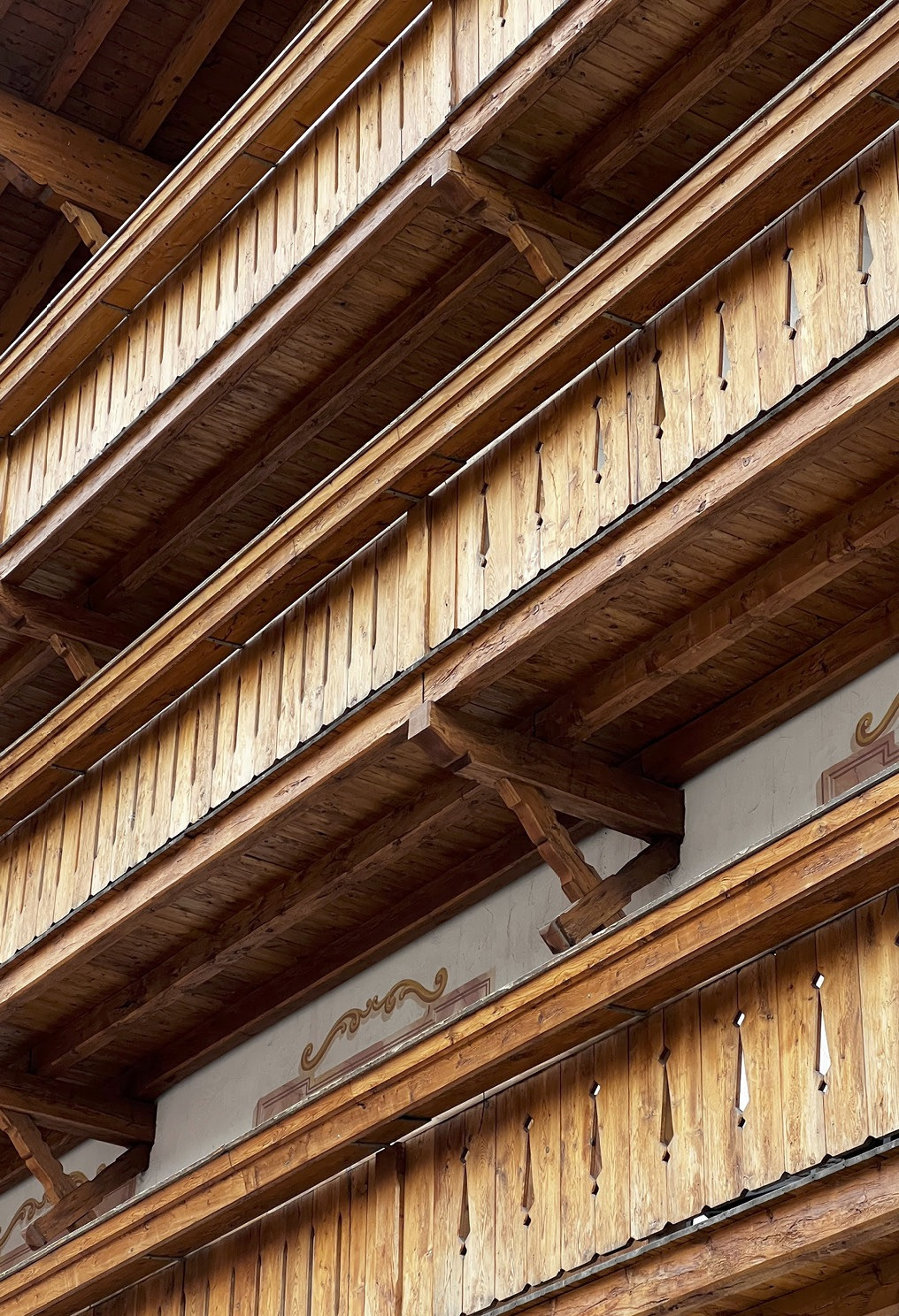
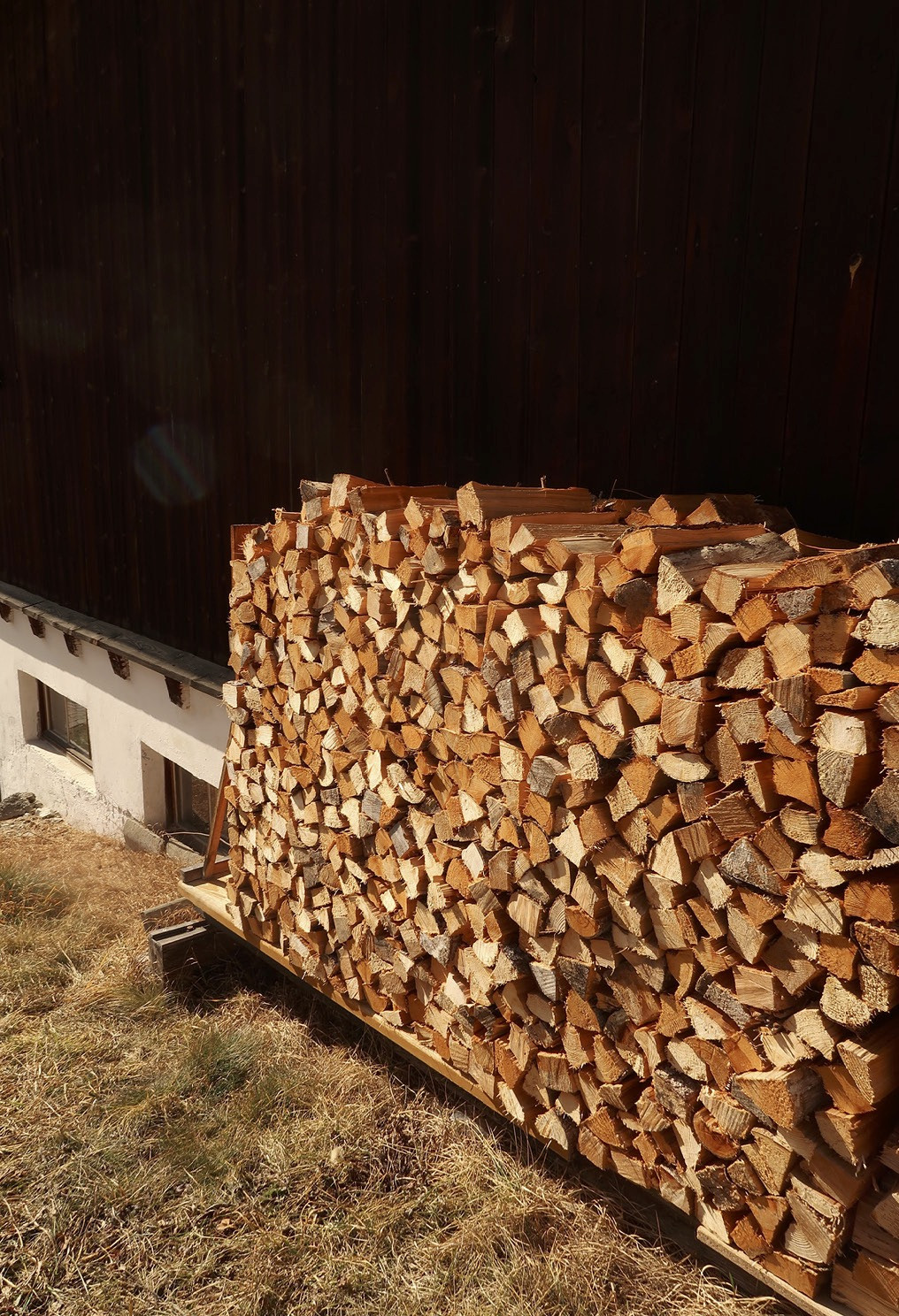
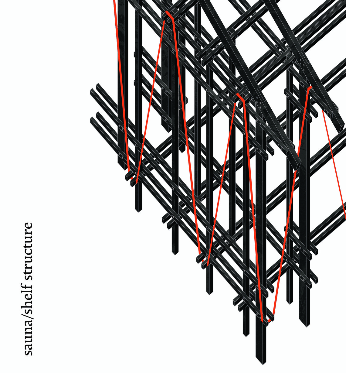
The structure is built from larch timber planks, fixed into a timber clamp system that echoes the wood storage racks found throughout the village. Overhanging roofs of corrugated steel provide shelter, frame a covered bench, and protect the exposed timber and straw construction beneath.
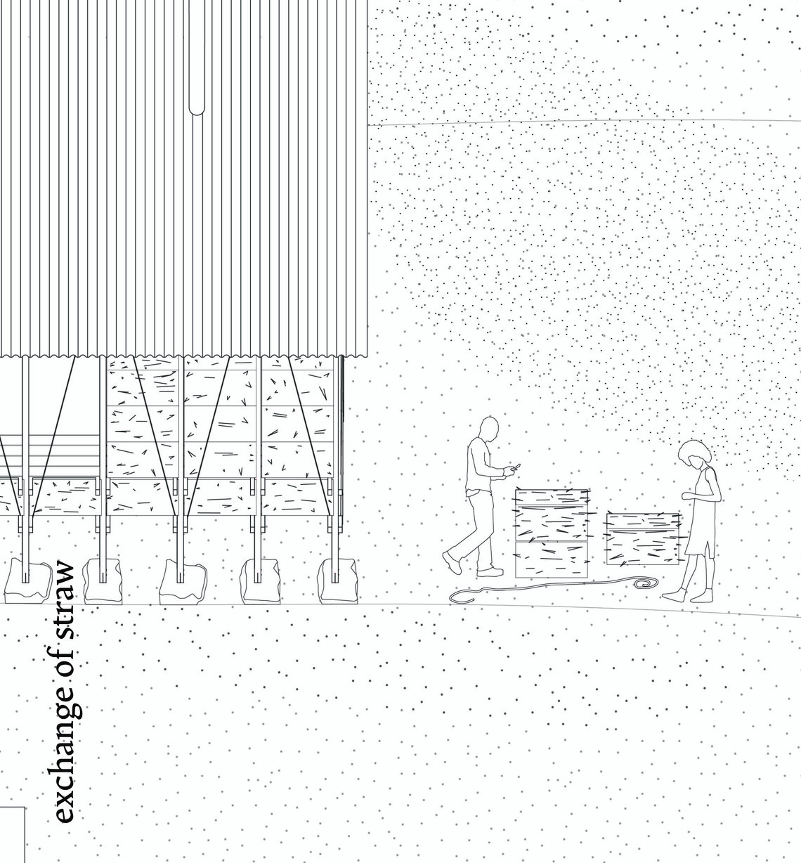
Straw bales insulate the sauna, held in place by cargo straps that simultaneously brace the structure. The straps allow the straw to be replaced over time — an acknowledgment of moisture risk, and a deliberate act of care toward the building and its longevity.
All three structures rest on stone foundations set into the ground, reflecting our commitment to sourcing materials locally. Rather than imitating the vernacular, we seek to learn from it — while remaining attentive to the realities of a shifting climate.

02 COMMON GROUNDS
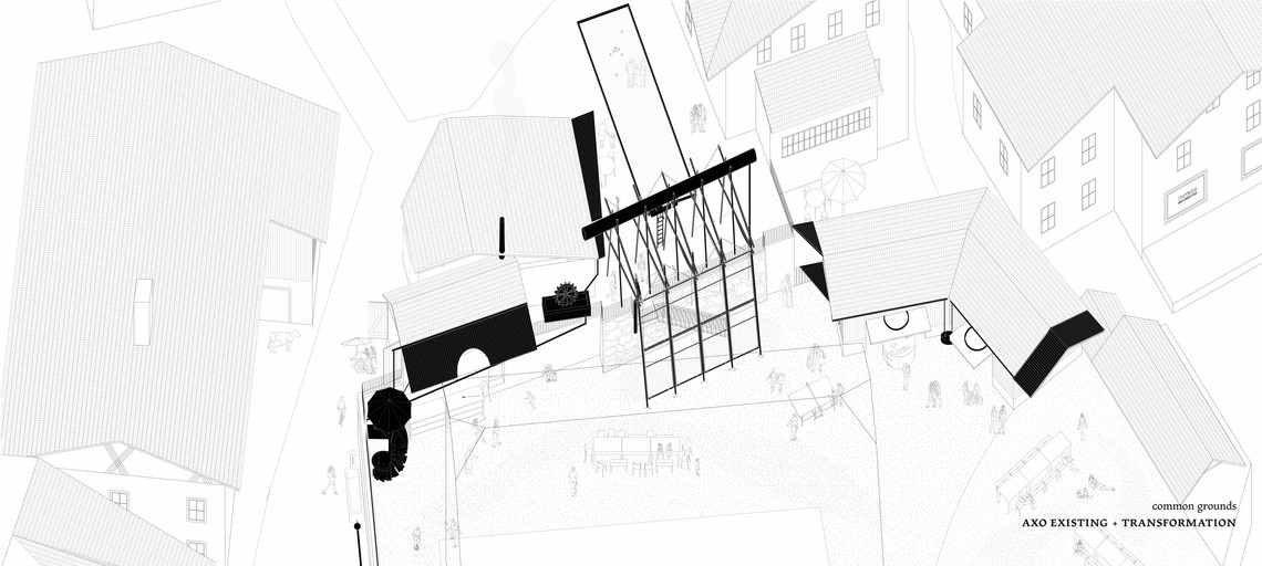
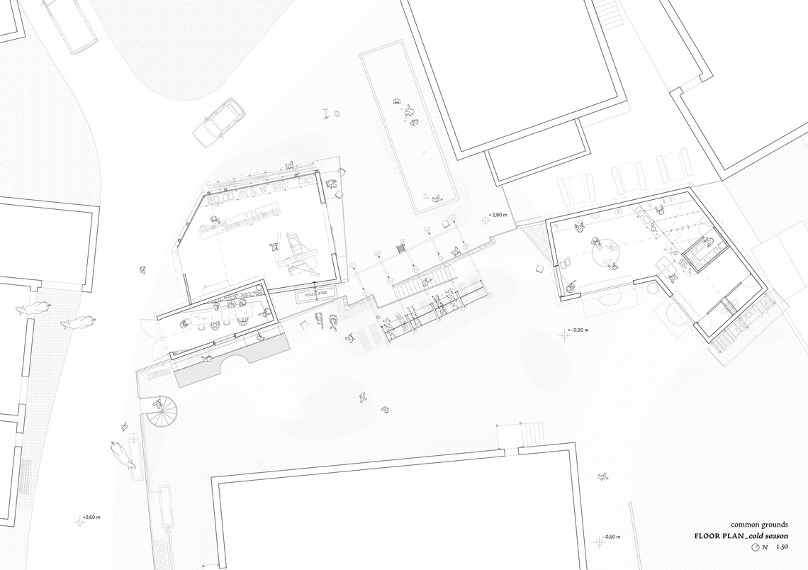
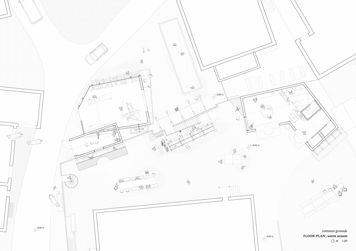
On the site of our main intervention, we aim to bring together different programs that encourage gathering within the local community. The proposal leans on practices that foster social interaction - baking, cooking, playing, and sharing meals collectively - while learning from one another and practicing care for each other.
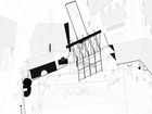
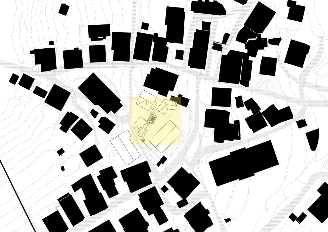
The site we are working on consists of a conglomerate of three existing buildings into which we intervene and transform. These are complemented by a second staircase, a water infrastructure, and roof extensions.


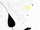
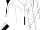
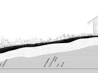
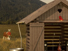
The site is defined by the village's steep terrain, splitting the plot across two levels with a height difference of 2.8 metres. A natural stone wall — traversed by an existing staircase — marks this threshold between the two. We introduce a scaffold structure here, functioning primarily as a water infrastructure. A large pipe carries water down to a water wheel, whose rotation generates energy for the timber workshop behind it. Beyond irrigating the herb garden, water can also be deliberately released into a vertical pipe, where it acts as a counterweight to open the windows of the garden house. At the upper level, the same structure supports a row of seats, inviting passersby to watch the weekly pétanque game below.
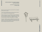
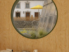
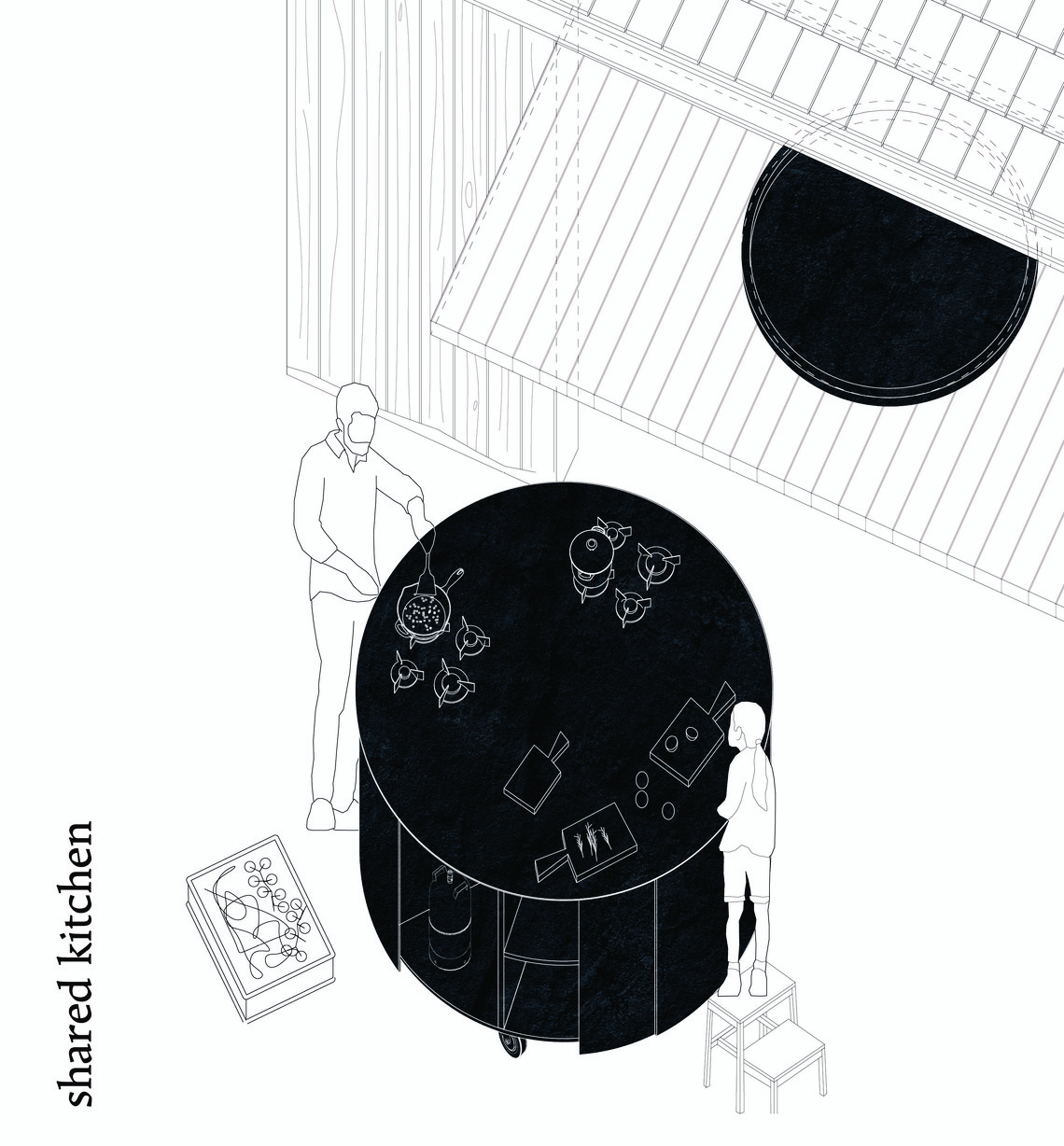
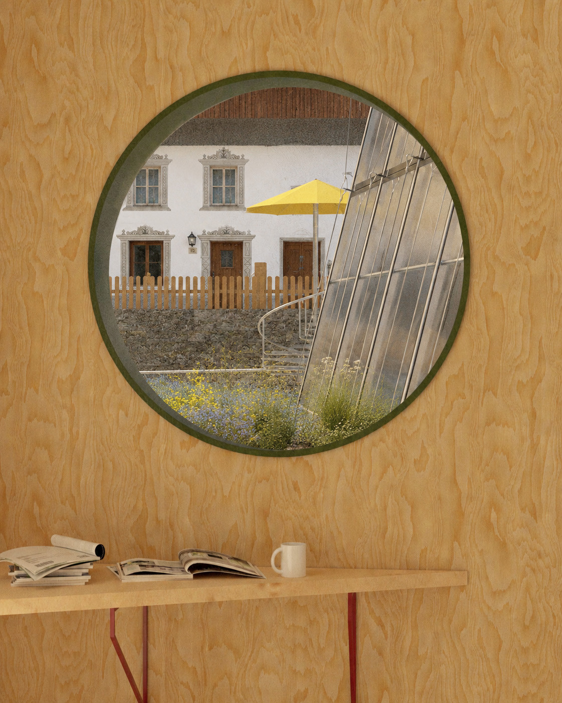
Taking cues from the overhanging roofs and generous gutters found throughout the village, all rooflines have been extended to carve out sheltered areas for storing, gathering, and lingering. Often paired with a bench, they become quiet acts of generosity. The former garage on the lower level is transformed into a collective kitchen with an adjoining herb drying room. New round windows bring in light and create visual connections between the newly formed spaces.

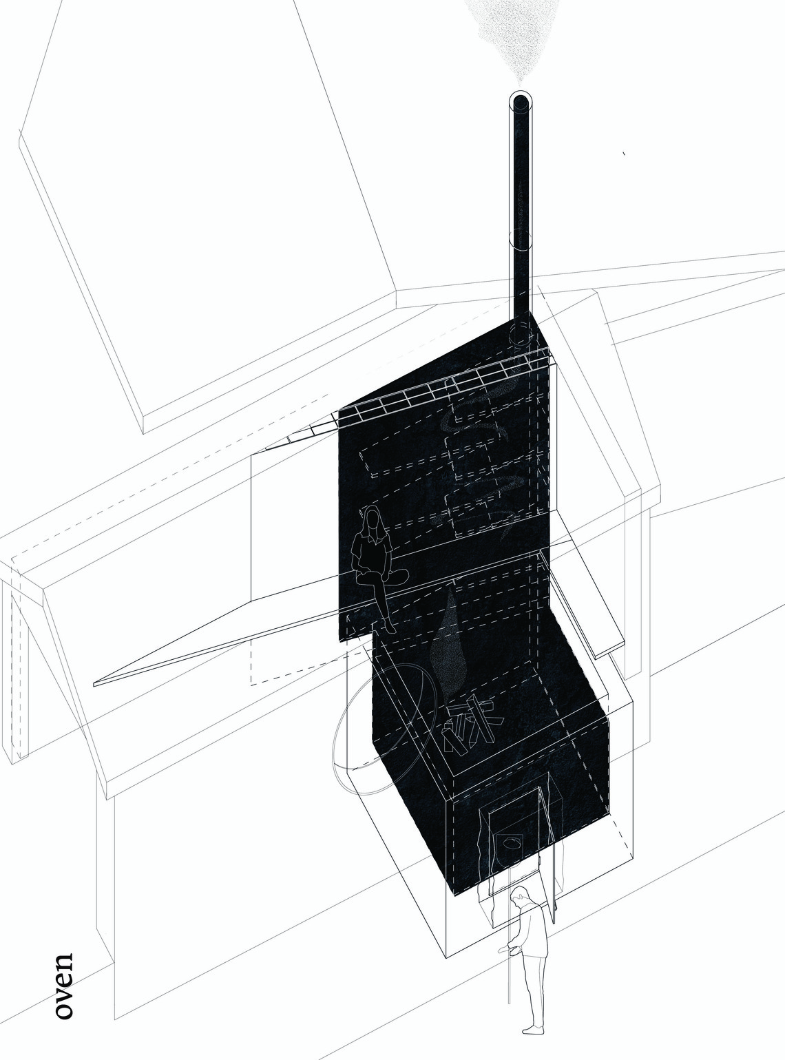
An existing opening in the wall beneath the small building on the upper level prompted us to forge another link between the two tiers. A bread and pizza oven is nestled here, doubling as a chimney flue for the living room above. Again, a new roof extends the threshold outward into the open air. A new spiral staircase provides a further direct connection to the lower terrace — and brings you back up to the living room and workshop.
The timber workshop, previously used as manure storage, is opened up on both sides with new sliding doors. We have drawn the outer wall of the workshop visually into the third existing building — constructed from local gneiss stone, this wall now serves as the warm chimney back wall of the newly created oven.
As a guiding, storing, and driving element, water connects many of the site's functions and gathering moments. It was important to us that the common grounds become a place that works as a social meeting point for the local community throughout the entire year — a flexible open space between the buildings, ready to host shared meals, games, and collective moments of all kinds.
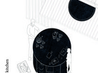
Floorplan Common Grounds


03 COWMON
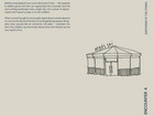
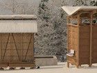
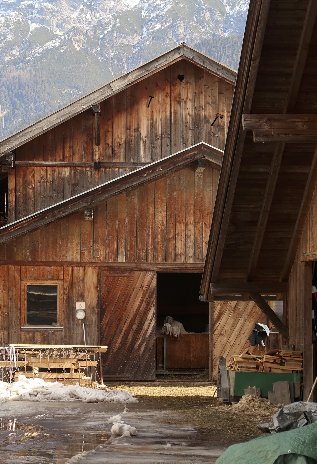
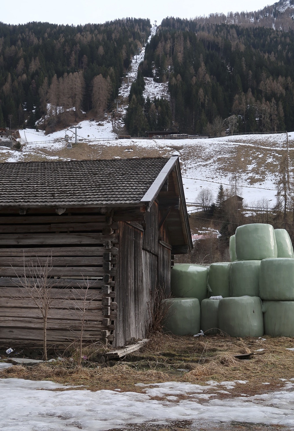
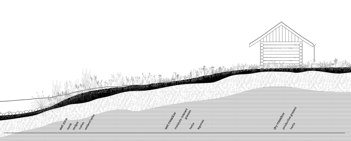
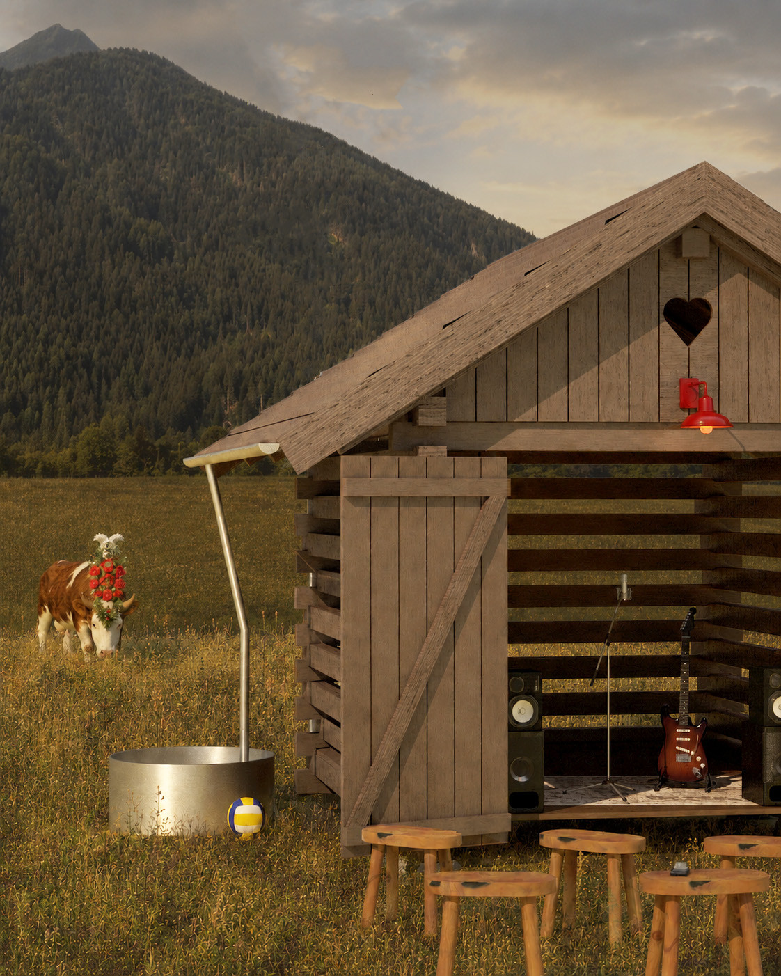
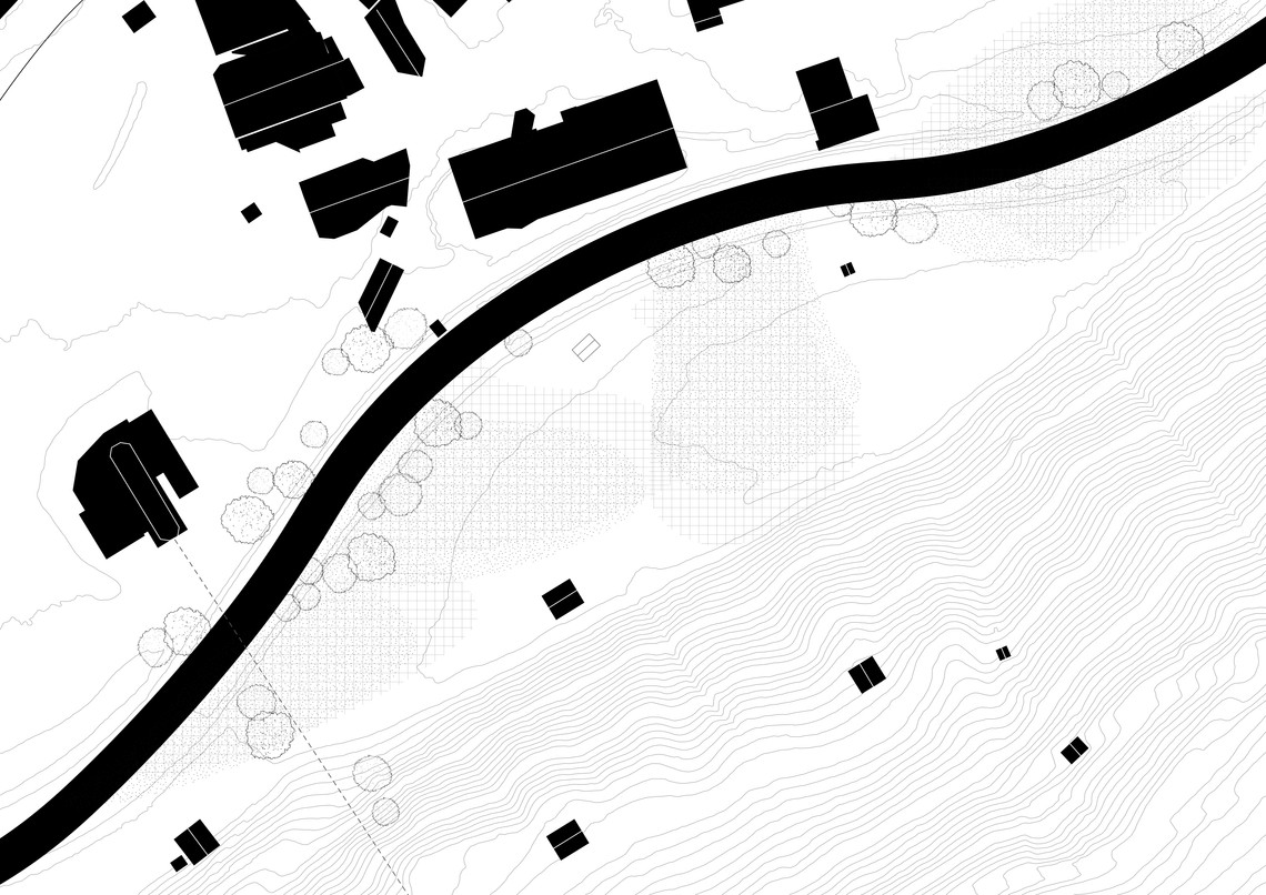
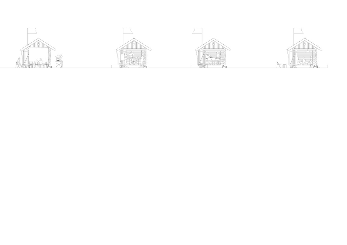
Arriving in the valley, beside the rushing river, lies our third intervention. Surrounded by hay fields and an agricultural landscape, small timber huts are scattered across the terrain — modest structures that today see little use.
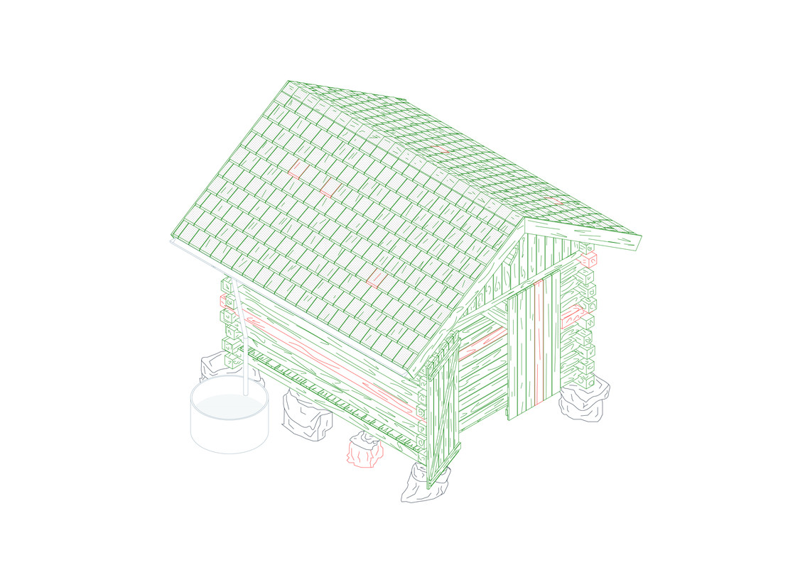
Their airy construction of timber beams was designed to allow the stored hay to breathe freely. Wooden shingles cover the roofs, and the huts sit slightly elevated from the damp ground on stone foundations.
By reintroducing seasonal flooding, the intervention slows down water flows, supports groundwater recharge and promotes biodiversity within the meadows. Working with natural cycles rather than against them, it strengthens the ecological resilience of the valley landscape.


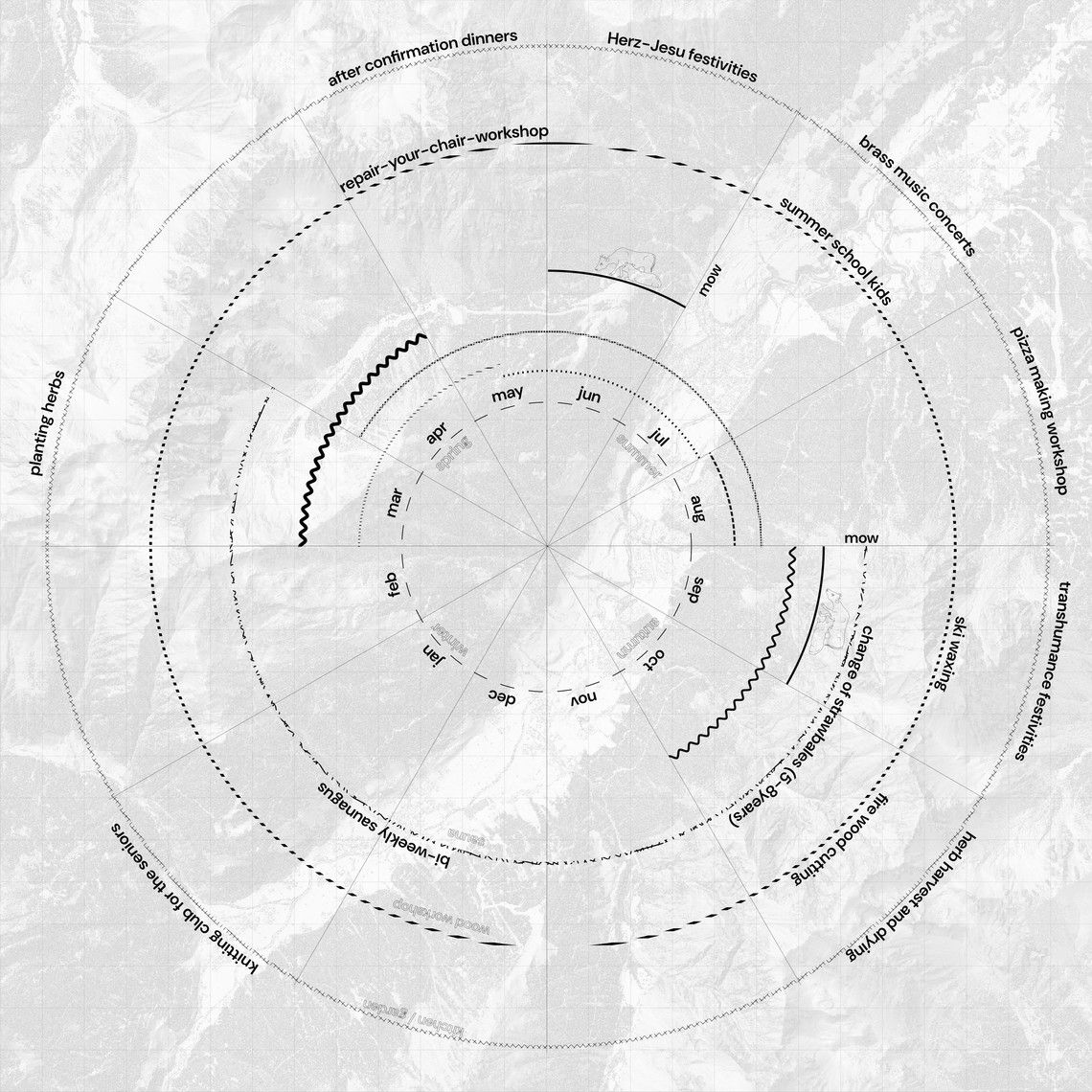
During periods when the meadows are not flooded, the existing huts are activated as social spaces for small concerts, film screenings, cheese tastings and other collective activities.
To enable this, many of the huts require some repair of their weathered materials — something we equally embrace as an ongoing act of care, nurturing a lasting appreciation for these enduring and adaptable structures.


MODELS


Our model series consists of one site model and three intervention models at a scale of 1:33. Existing structures are represented in brown, while coloured elements indicate the proposed additions. Together, the models expose three distinct approaches to adapting, extending and reinterpreting vernacular structures within the alpine context of Neustift.